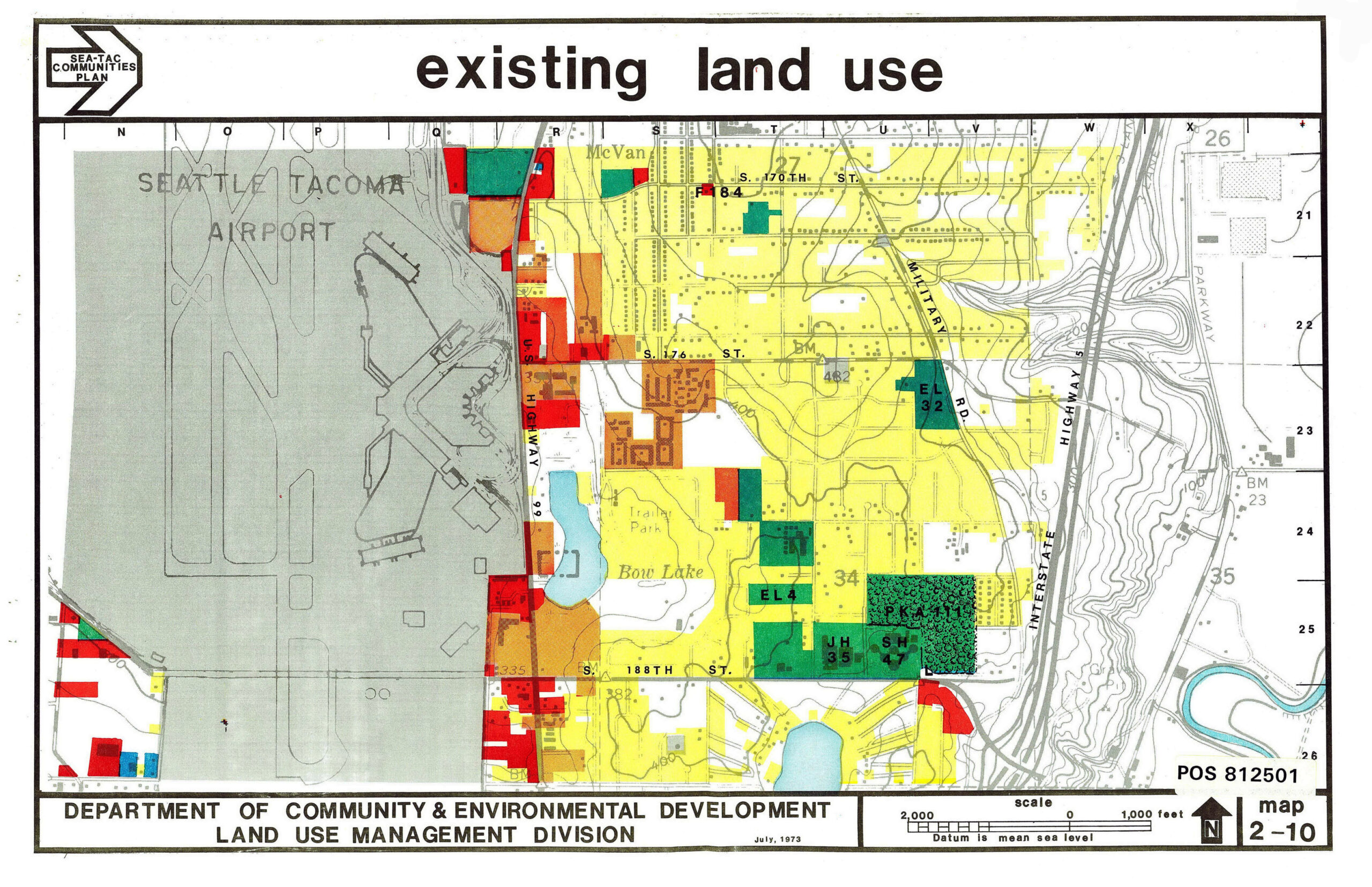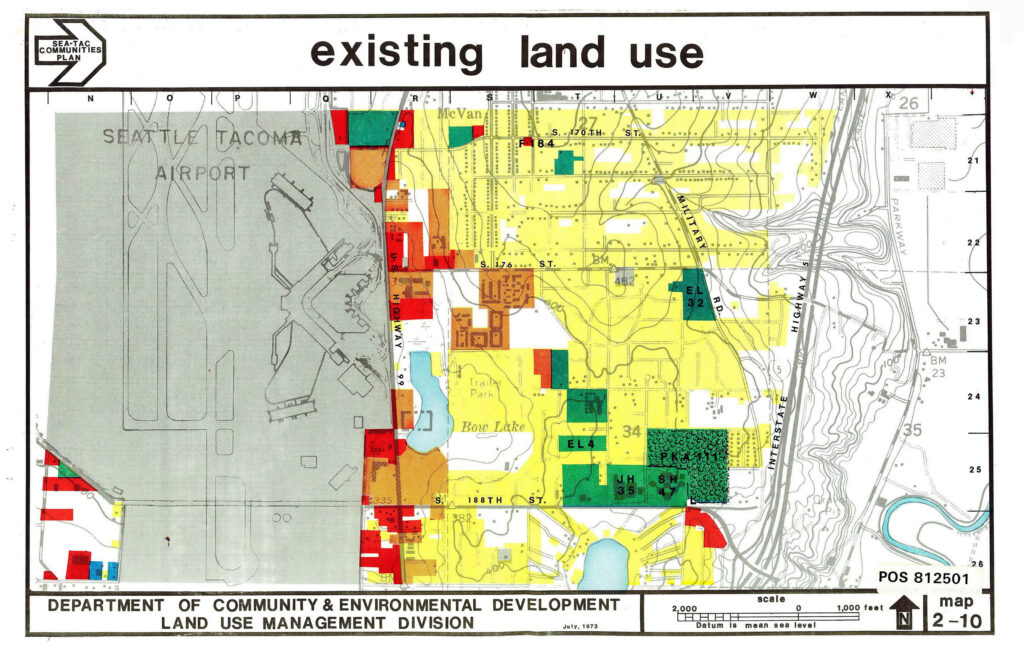
A color-coded land use map produced by King County's Department of Community & Environmental Development, Land Use Management Division, dated July 1973, showing existing land uses around Seattle-Tacoma International Airport and surrounding communities. The map (POS 812501, Map 2-10) depicts residential, commercial, industrial, and public/open space uses along US Highway 99 and Interstate 5, including labeled schools (EL 32, EL 4, JH 35, SH 47, PKA 111) and landmarks such as Bow Lake and Trailer Park near S. 188th Street.Open full document
Notes
A color-coded land use map produced by King County’s Department of Community & Environmental Development, Land Use Management Division, dated July 1973, showing existing land uses around Seattle-Tacoma International Airport and surrounding communities. The map (POS 812501, Map 2-10) depicts residential, commercial, industrial, and public/open space uses along US Highway 99 and Interstate 5, including labeled schools (EL 32, EL 4, JH 35, SH 47, PKA 111) and landmarks such as Bow Lake and Trailer Park near S. 188th Street.