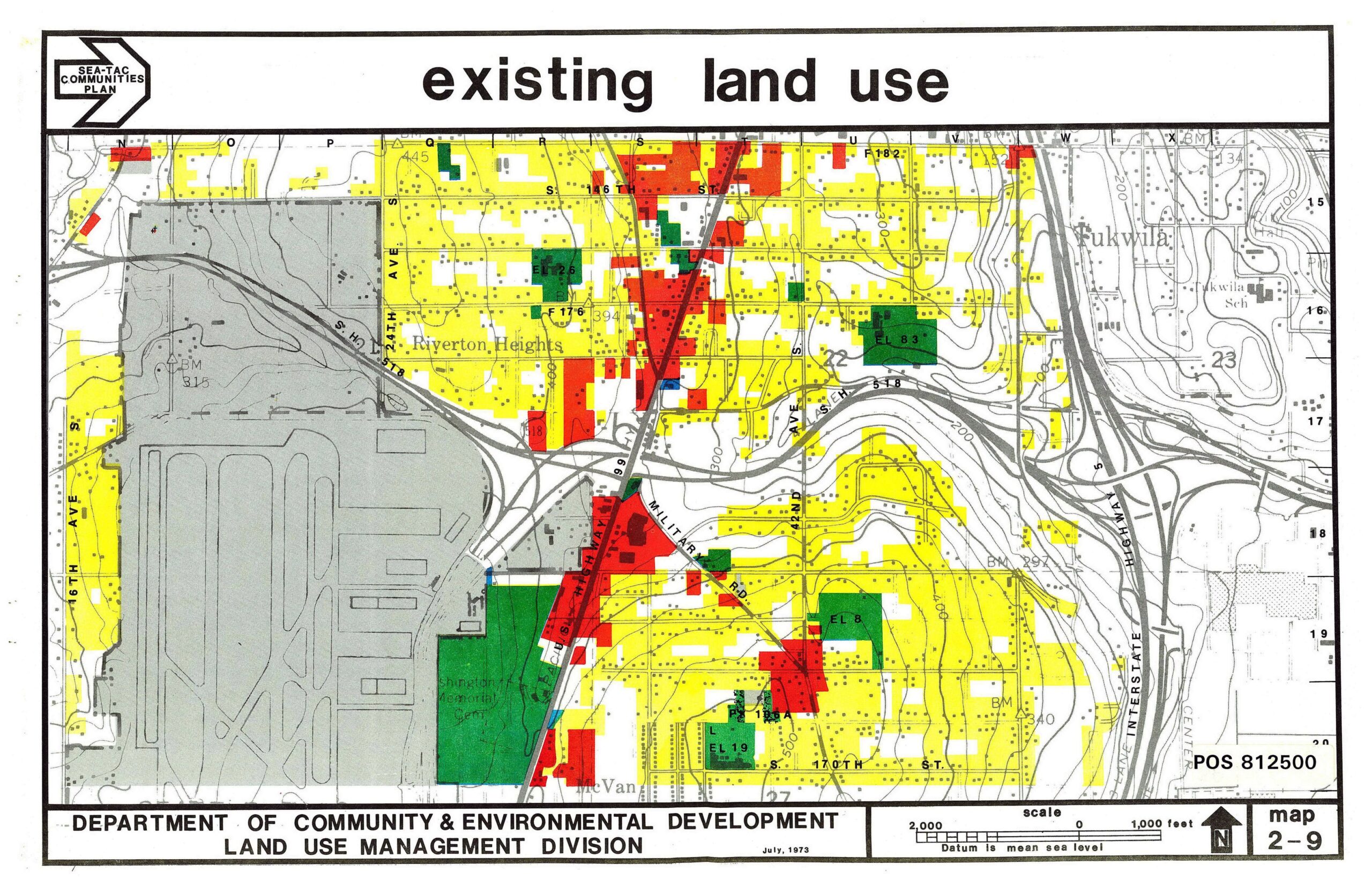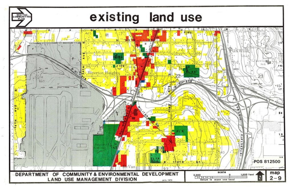
A color-coded land use map produced by King County's Department of Community & Environmental Development, Land Use Management Division, dated July 1973, as part of the Sea-Tac Communities Plan. The map (POS 812500, Map 2-9) depicts existing land uses in the Riverton Heights and Tukwila area surrounding Sea-Tac Airport, with yellow indicating residential uses, red indicating commercial, green indicating institutional/public, and gray indicating the airport facility itself.Open full document
Notes
A color-coded land use map produced by King County’s Department of Community & Environmental Development, Land Use Management Division, dated July 1973, as part of the Sea-Tac Communities Plan. The map (POS 812500, Map 2-9) depicts existing land uses in the Riverton Heights and Tukwila area surrounding Sea-Tac Airport, with yellow indicating residential uses, red indicating commercial, green indicating institutional/public, and gray indicating the airport facility itself.