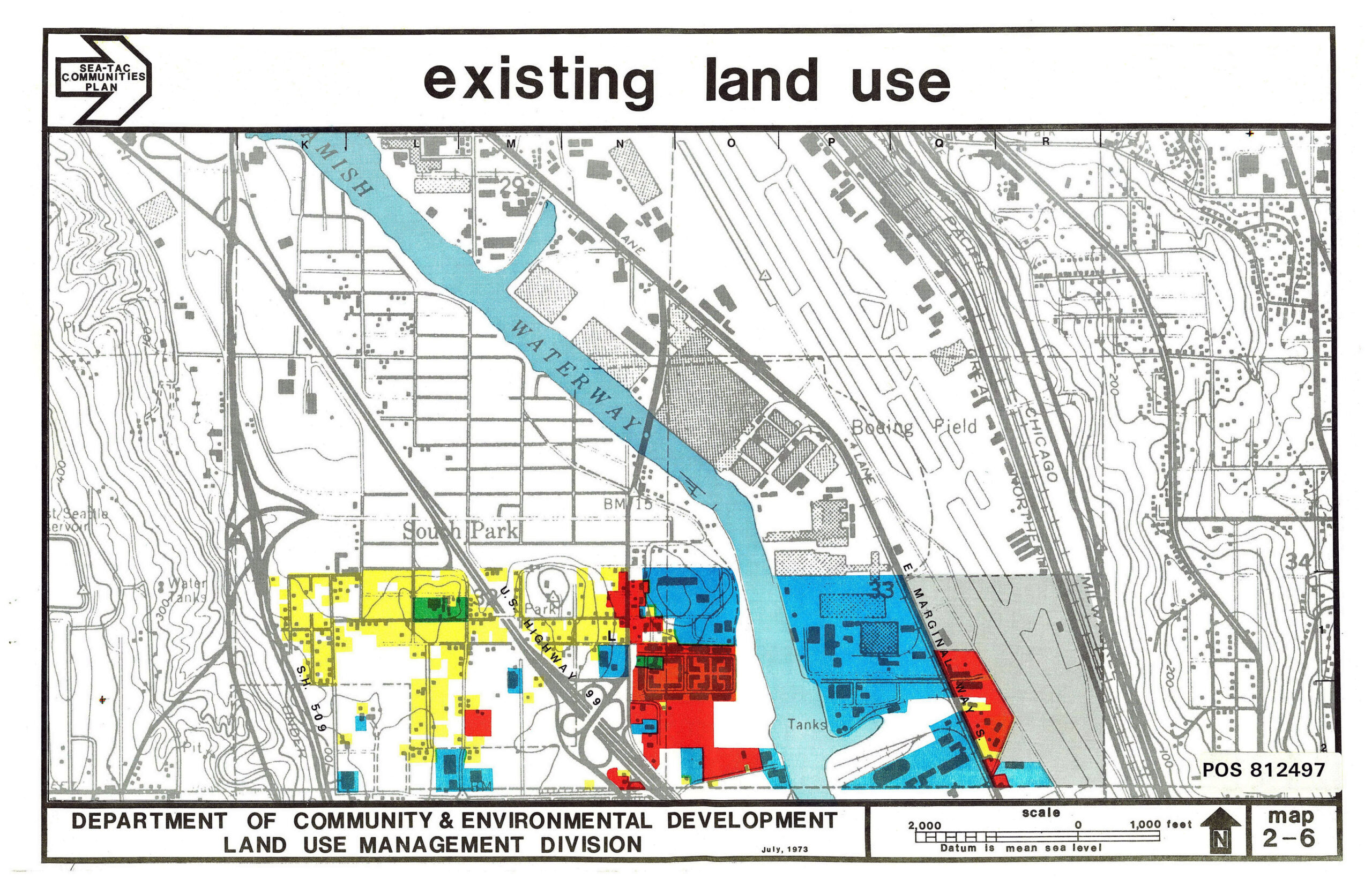
This land use map (Map 2-6, POS 812497) from the Seattle Department of Community & Environmental Development, Land Use Management Division, dated July 1973, depicts existing land uses in the South Park neighborhood and surrounding areas, including the Duwamish Waterway, Boeing Field, and E. Marginal Way. The map uses color coding to show various land use categories and is part of the Sea-Tac Communities Plan series.Open full document
Notes
This land use map (Map 2-6, POS 812497) from the Seattle Department of Community & Environmental Development, Land Use Management Division, dated July 1973, depicts existing land uses in the South Park neighborhood and surrounding areas, including the Duwamish Waterway, Boeing Field, and E. Marginal Way. The map uses color coding to show various land use categories and is part of the Sea-Tac Communities Plan series.