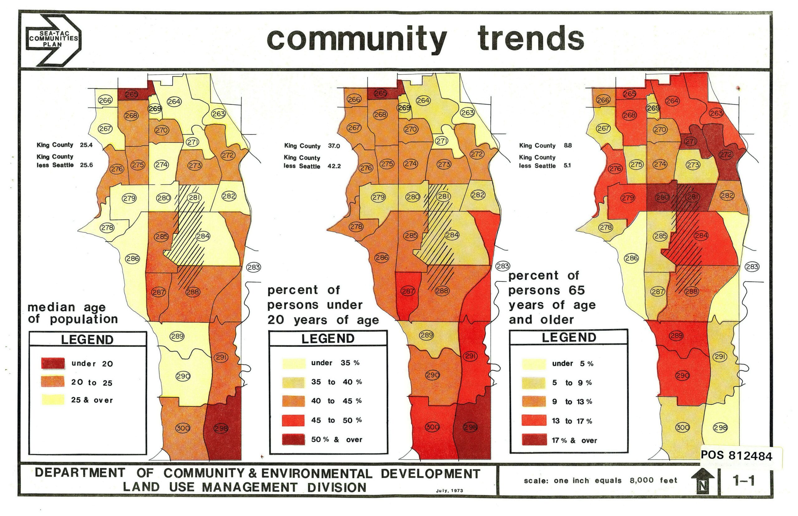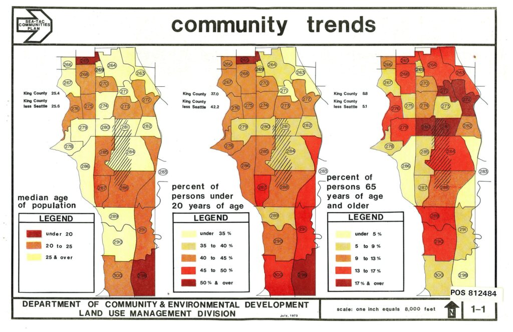
A July 1973 planning map produced by King County's Department of Community & Environmental Development, Land Use Management Division, for the Sea-Tac Communities Plan. It displays three choropleth maps of census tracts (numbered 263–300) showing median age of population, percent of persons under 20 years of age, and percent of persons 65 and older, with King County reference statistics noted for each measure.Open full document
Notes
A July 1973 planning map produced by King County’s Department of Community & Environmental Development, Land Use Management Division, for the Sea-Tac Communities Plan. It displays three choropleth maps of census tracts (numbered 263–300) showing median age of population, percent of persons under 20 years of age, and percent of persons 65 and older, with King County reference statistics noted for each measure.