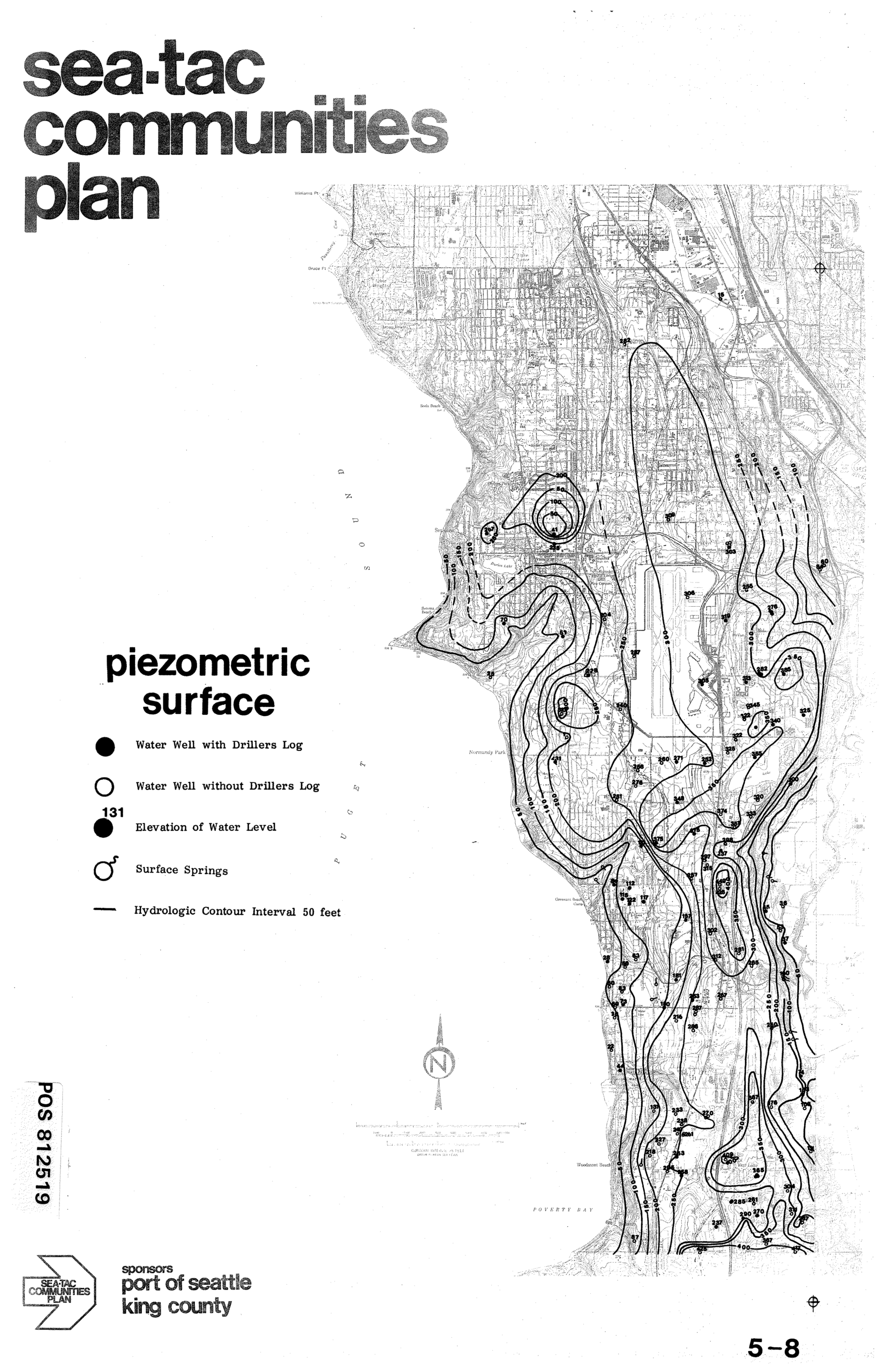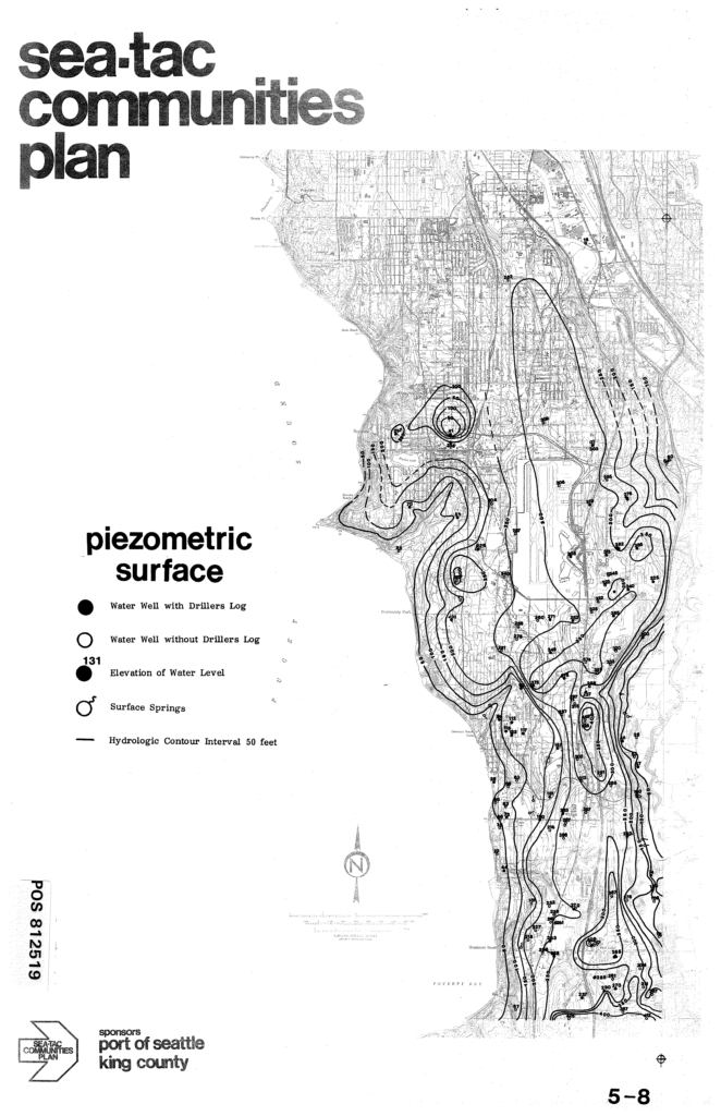
This map, labeled sheet 5-8 from the Sea-Tac Communities Plan (POS 812519), depicts the piezometric surface of groundwater in the Sea-Tac area, showing water wells with and without drillers logs, surface springs, elevation of water levels, and hydrologic contour lines at 50-foot intervals. The plan was sponsored by the Port of Seattle and King County.Open full document
Notes
This map, labeled sheet 5-8 from the Sea-Tac Communities Plan (POS 812519), depicts the piezometric surface of groundwater in the Sea-Tac area, showing water wells with and without drillers logs, surface springs, elevation of water levels, and hydrologic contour lines at 50-foot intervals. The plan was sponsored by the Port of Seattle and King County.