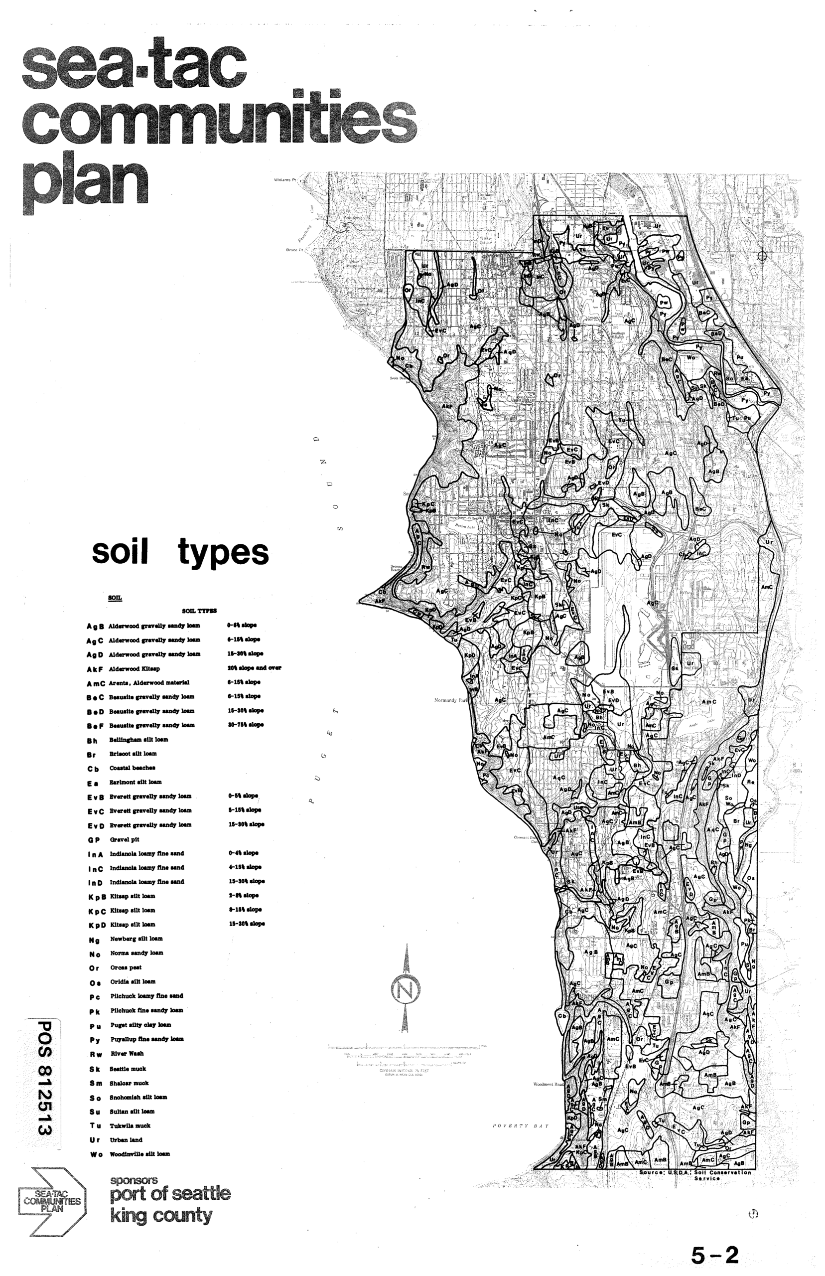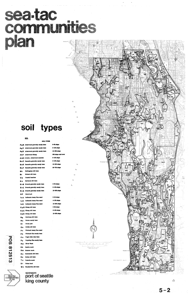
This map from the Sea-Tac Communities Plan (Sheet 5-2) depicts soil types across the Sea-Tac area along Puget Sound, including Poverty Bay, with a detailed legend classifying soils such as Alderwood gravelly sandy loam, Everett gravelly sandy loam, Kitsap silt loam, and Urban land, among others. The document was sponsored by the Port of Seattle and King County, with soil data sourced from the USDA Soil Conservation Service.Open full document
Notes
This map from the Sea-Tac Communities Plan (Sheet 5-2) depicts soil types across the Sea-Tac area along Puget Sound, including Poverty Bay, with a detailed legend classifying soils such as Alderwood gravelly sandy loam, Everett gravelly sandy loam, Kitsap silt loam, and Urban land, among others. The document was sponsored by the Port of Seattle and King County, with soil data sourced from the USDA Soil Conservation Service.