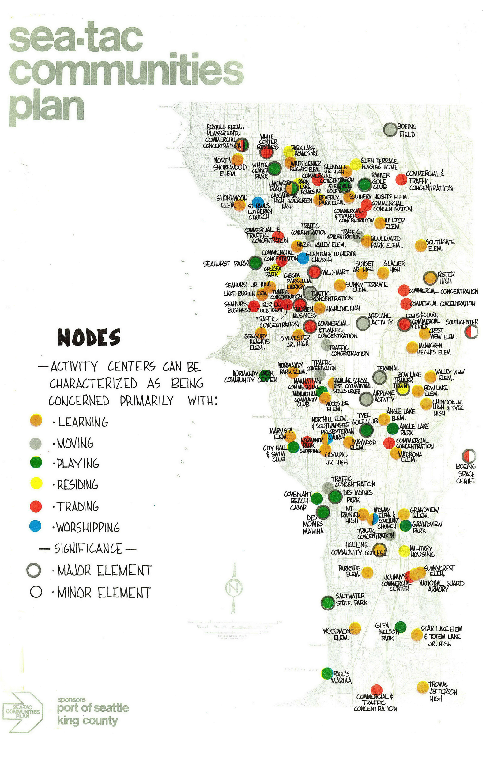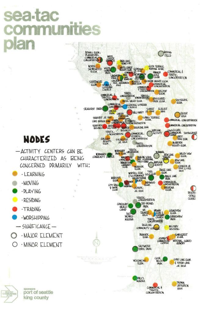
A community planning map produced by the Sea-Tac Communities Plan, sponsored by the Port of Seattle and King County, showing named activity nodes (schools, parks, commercial concentrations, traffic concentrations, churches, and other landmarks) across the Sea-Tac region color-coded by primary function: learning, moving, playing, residing, trading, and worshipping. Nodes are further classified by significance as major or minor elements.Open full document
Notes
A community planning map produced by the Sea-Tac Communities Plan, sponsored by the Port of Seattle and King County, showing named activity nodes (schools, parks, commercial concentrations, traffic concentrations, churches, and other landmarks) across the Sea-Tac region color-coded by primary function: learning, moving, playing, residing, trading, and worshipping. Nodes are further classified by significance as major or minor elements.