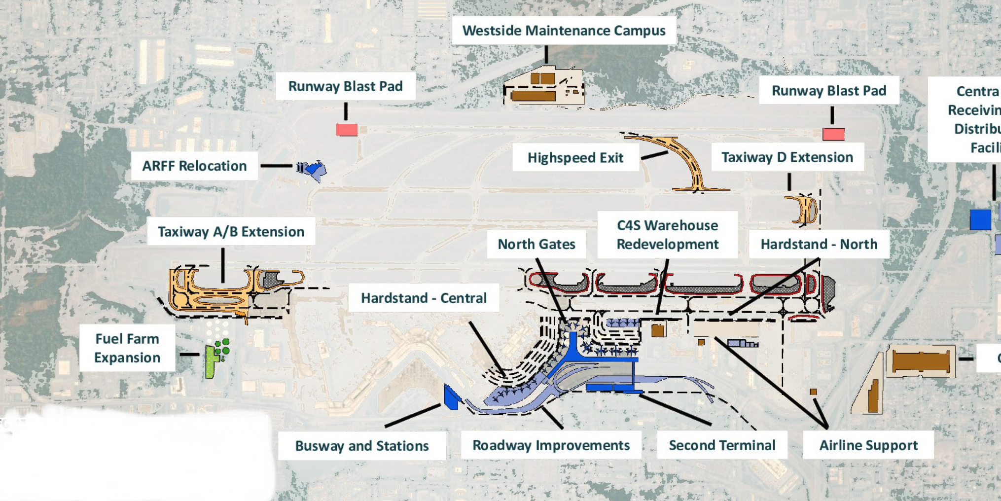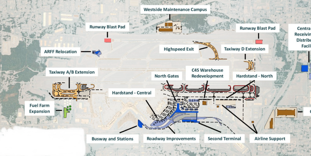
An aerial planning map of Seattle-Tacoma International Airport depicting proposed capital improvement projects, including a Second Terminal, North Gates, Taxiway A/B and D Extensions, Hardstand areas (Central and North), Busway and Stations, Roadway Improvements, Fuel Farm Expansion, ARFF Relocation, Westside Maintenance Campus, C4S Warehouse Redevelopment, Runway Blast Pads, and Airline Support facilities. The map uses color-coded overlays to indicate new or expanded infrastructure across the airfield and landside areas.Open full document
Notes
An aerial planning map of Seattle-Tacoma International Airport depicting proposed capital improvement projects, including a Second Terminal, North Gates, Taxiway A/B and D Extensions, Hardstand areas (Central and North), Busway and Stations, Roadway Improvements, Fuel Farm Expansion, ARFF Relocation, Westside Maintenance Campus, C4S Warehouse Redevelopment, Runway Blast Pads, and Airline Support facilities. The map uses color-coded overlays to indicate new or expanded infrastructure across the airfield and landside areas.