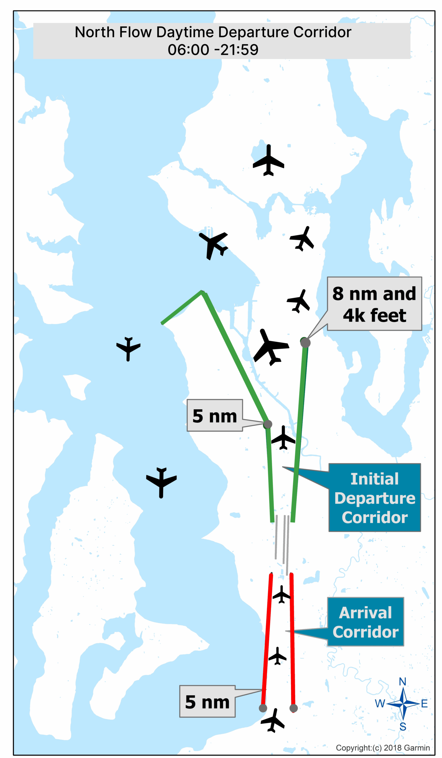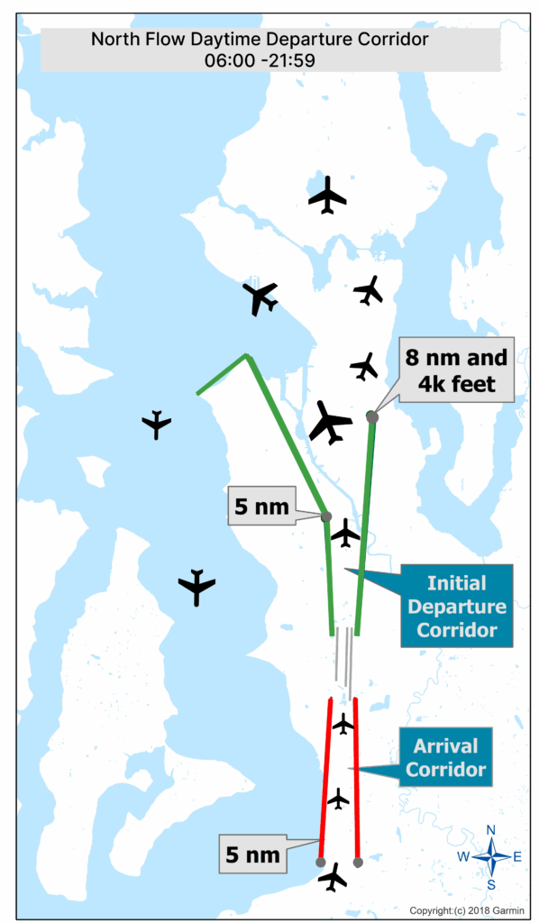
A Garmin-produced (copyright 2018) flight corridor map for Seattle-Tacoma International Airport showing the North Flow Daytime Departure Corridor, active 06:00–21:59. The diagram illustrates the Initial Departure Corridor (green lines) diverging from the Arrival Corridor (red lines) at 5 nautical miles from the runway threshold, with a turn point at 8 nautical miles and 4,000 feet altitude.Open full document
Notes
A Garmin-produced (copyright 2018) flight corridor map for Seattle-Tacoma International Airport showing the North Flow Daytime Departure Corridor, active 06:00–21:59. The diagram illustrates the Initial Departure Corridor (green lines) diverging from the Arrival Corridor (red lines) at 5 nautical miles from the runway threshold, with a turn point at 8 nautical miles and 4,000 feet altitude.