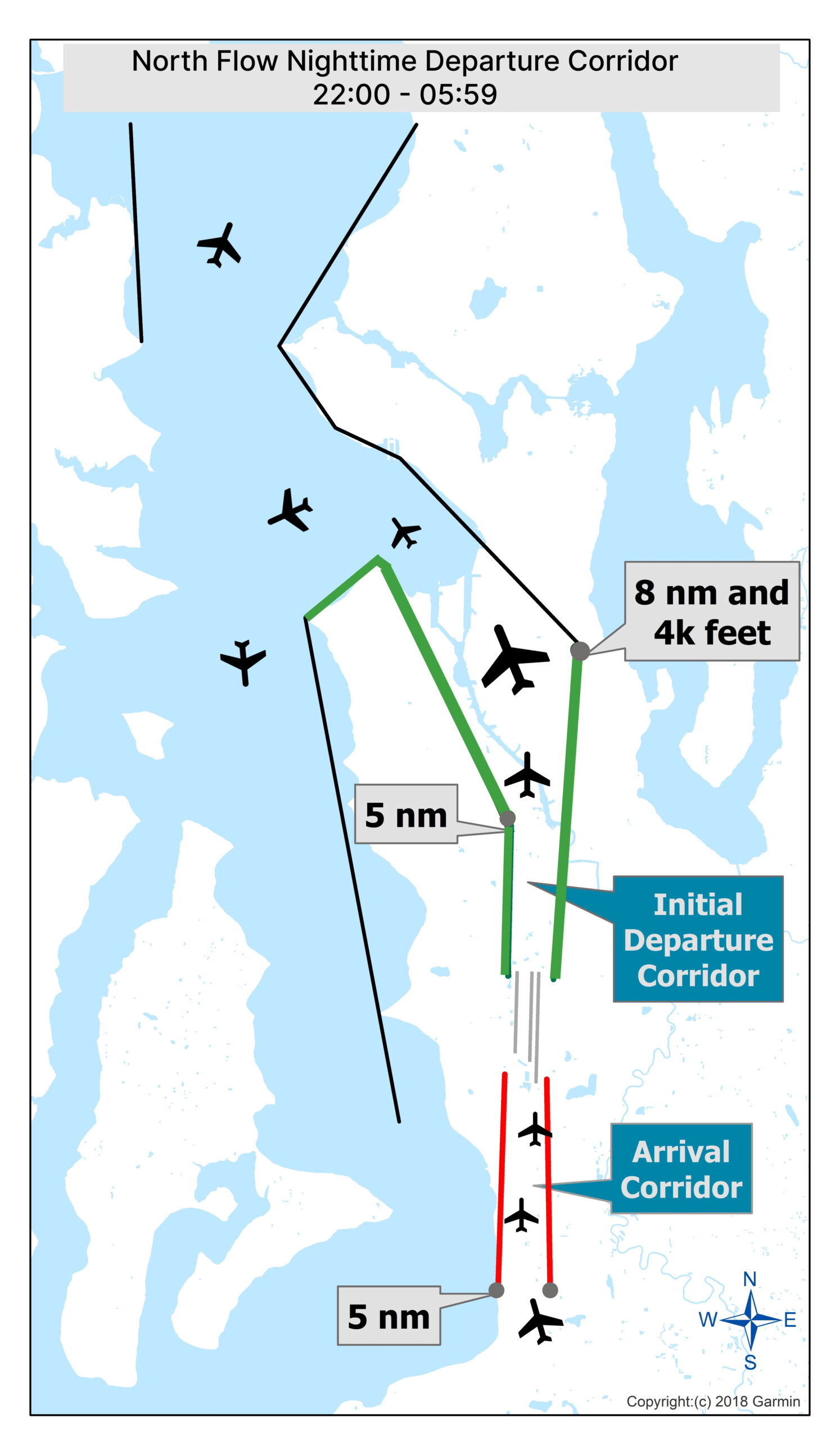
A 2018 Garmin-based diagram depicting the North Flow Nighttime Departure Corridor for Seattle-Tacoma International Airport, operational from 22:00 to 05:59. The map shows the Initial Departure Corridor (green) and Arrival Corridor (red), with labeled waypoints at 5 nautical miles and 8 nautical miles/4,000 feet altitude, along with aircraft track paths over Puget Sound.Open full document
Notes
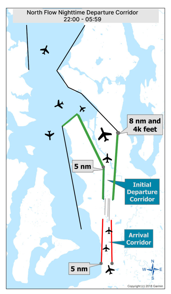
A 2018 Garmin-based diagram depicting the North Flow Nighttime Departure Corridor for Seattle-Tacoma International Airport, operational from 22:00 to 05:59. The map shows the Initial Departure Corridor (green) and Arrival Corridor (red), with labeled waypoints at 5 nautical miles and 8 nautical miles/4,000 feet altitude, along with aircraft track paths over Puget Sound.