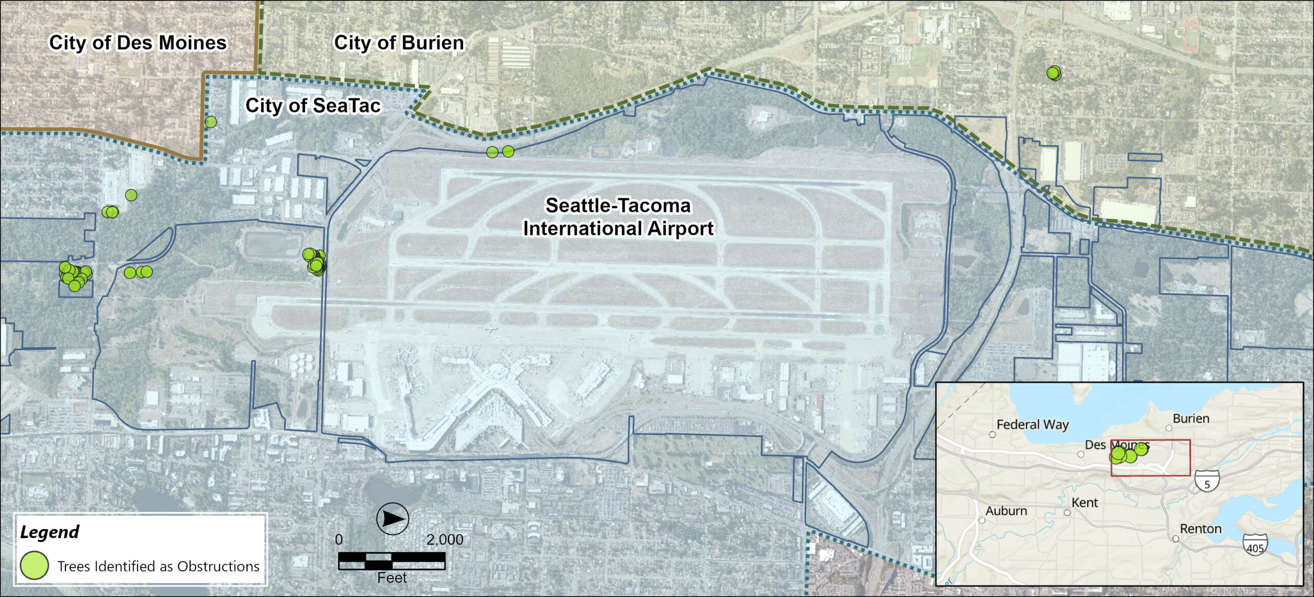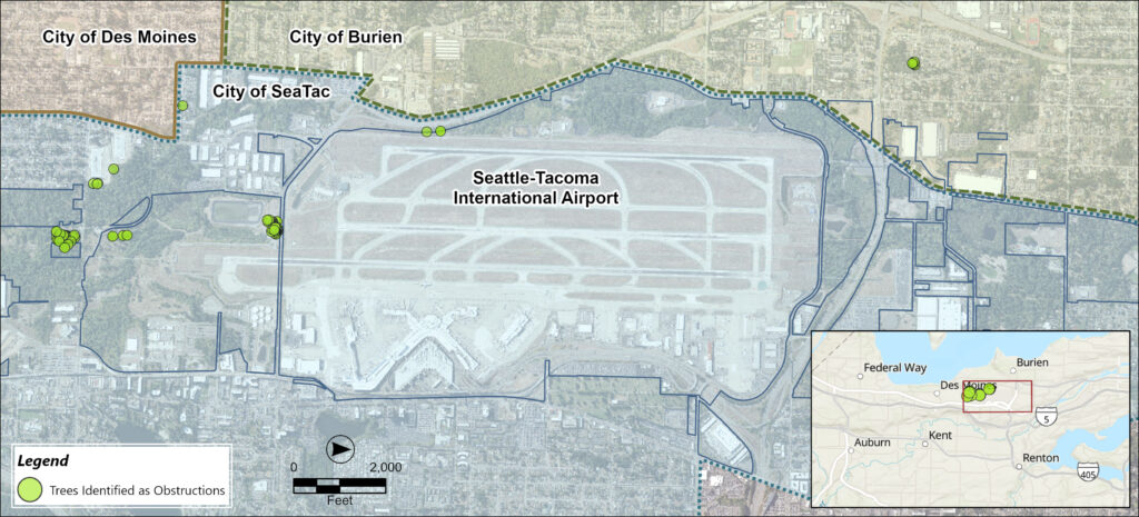
Aerial map of Seattle-Tacoma International Airport (Sea-Tac) showing trees identified as aviation obstructions (marked as green dots) along the airport perimeter, with surrounding jurisdictions labeled including the City of SeaTac, City of Burien, and City of Des Moines. The map includes a scale bar in feet and an inset locator map showing the airport's position relative to nearby cities including Federal Way, Burien, Des Moines, Auburn, Kent, and Renton.Open full document
Notes
Aerial map of Seattle-Tacoma International Airport (Sea-Tac) showing trees identified as aviation obstructions (marked as green dots) along the airport perimeter, with surrounding jurisdictions labeled including the City of SeaTac, City of Burien, and City of Des Moines. The map includes a scale bar in feet and an inset locator map showing the airport’s position relative to nearby cities including Federal Way, Burien, Des Moines, Auburn, Kent, and Renton.