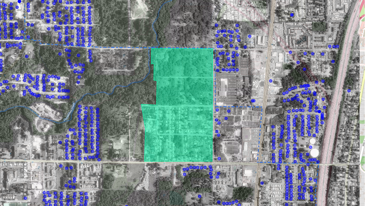
Satellite/aerial map showing a large green-shaded parcel or study area in what appears to be a suburban district, surrounded by numerous blue dot markers likely representing noise-monitoring points, addresses, or properties of interest. Partial street labels visible including '24TH AVE S' and '30TH AVE S'; a rail corridor is visible along the right edge.Open full document
Notes
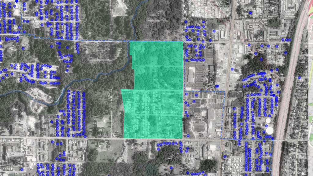
Satellite/aerial map showing a large green-shaded parcel or study area in what appears to be a suburban district, surrounded by numerous blue dot markers likely representing noise-monitoring points, addresses, or properties of interest. Partial street labels visible including ’24TH AVE S’ and ’30TH AVE S’; a rail corridor is visible along the right edge.