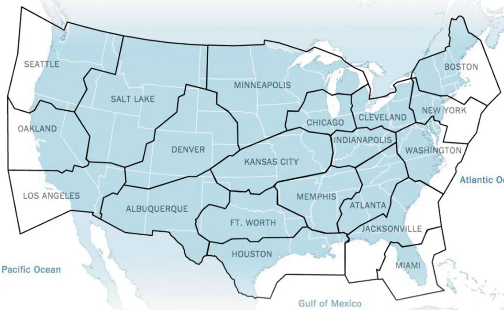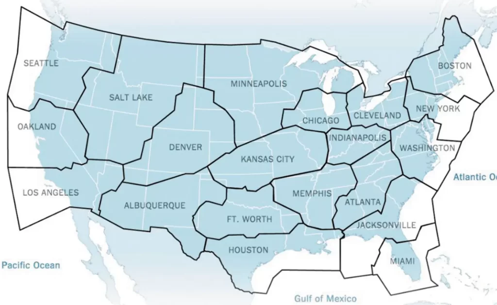
A map of the contiguous United States divided into named regional zones centered on major cities, including Seattle, Oakland, Los Angeles, Salt Lake, Denver, Albuquerque, Minneapolis, Kansas City, Ft. Worth, Houston, Chicago, Memphis, Atlanta, Jacksonville, Miami, Indianapolis, Cleveland, Washington, New York, and Boston. The shaded (blue) regions appear to represent service or coverage territories, while white areas fall outside the defined zones.Open full document
Notes
A map of the contiguous United States divided into named regional zones centered on major cities, including Seattle, Oakland, Los Angeles, Salt Lake, Denver, Albuquerque, Minneapolis, Kansas City, Ft. Worth, Houston, Chicago, Memphis, Atlanta, Jacksonville, Miami, Indianapolis, Cleveland, Washington, New York, and Boston. The shaded (blue) regions appear to represent service or coverage territories, while white areas fall outside the defined zones.