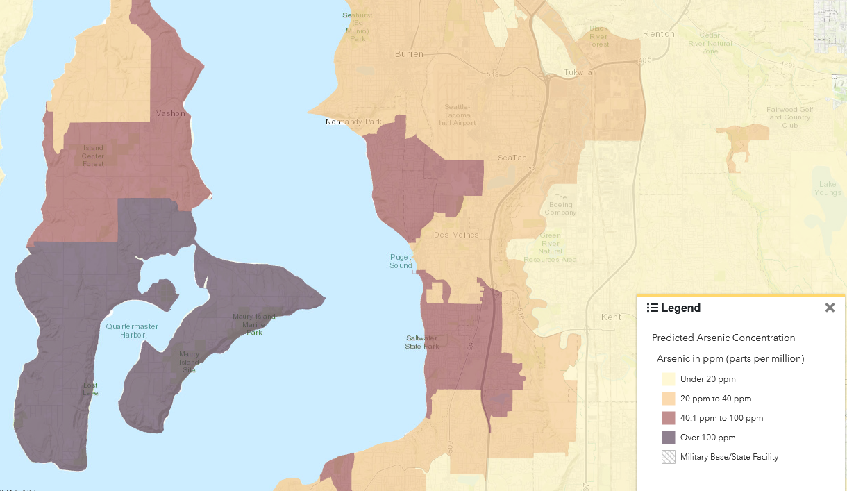
A GIS map displaying predicted soil arsenic concentrations in parts per million (ppm) across the Sea-Tac Airport vicinity, including Vashon Island, Burien, Normandy Park, SeaTac, Des Moines, and surrounding communities. Areas are color-coded by arsenic level: under 20 ppm (light tan), 20–40 ppm (orange-tan), 40.1–100 ppm (mauve), and over 100 ppm (dark gray-blue), with a Military Base/State Facility hatching category also shown in the legend.Open full document
Notes
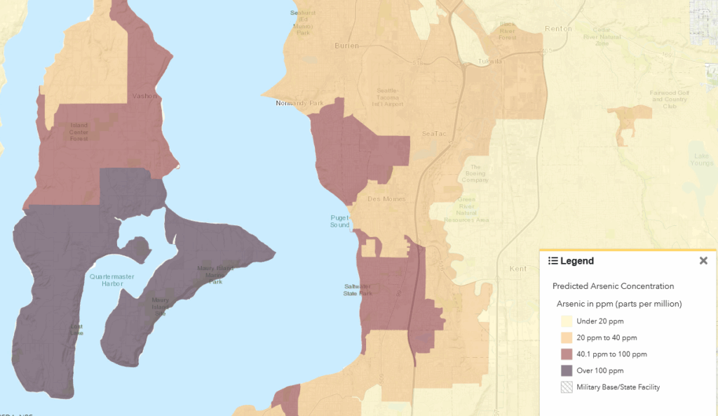
A GIS map displaying predicted soil arsenic concentrations in parts per million (ppm) across the Sea-Tac Airport vicinity, including Vashon Island, Burien, Normandy Park, SeaTac, Des Moines, and surrounding communities. Areas are color-coded by arsenic level: under 20 ppm (light tan), 20–40 ppm (orange-tan), 40.1–100 ppm (mauve), and over 100 ppm (dark gray-blue), with a Military Base/State Facility hatching category also shown in the legend.