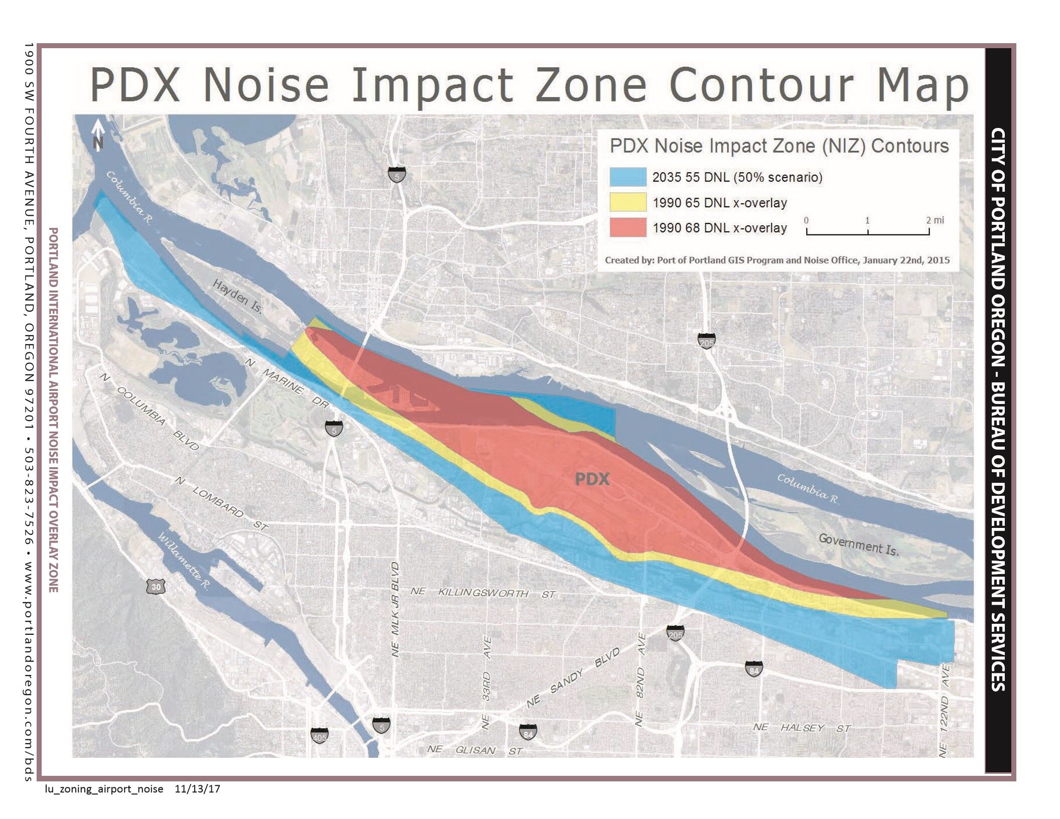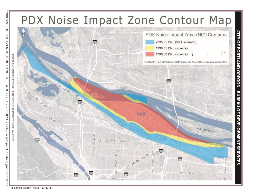
This map, created by the Port of Portland GIS Program and Noise Office on January 22, 2015, depicts the Portland International Airport (PDX) Noise Impact Zone contours, showing the 2035 55 DNL (50% scenario), 1990 65 DNL x-overlay, and 1990 68 DNL x-overlay zones over northeast Portland and the Columbia River area. The document is published by the City of Portland, Oregon Bureau of Development Services and relates to the Portland International Airport Noise Impact Overlay Zone.Open full document
Notes
This map, created by the Port of Portland GIS Program and Noise Office on January 22, 2015, depicts the Portland International Airport (PDX) Noise Impact Zone contours, showing the 2035 55 DNL (50% scenario), 1990 65 DNL x-overlay, and 1990 68 DNL x-overlay zones over northeast Portland and the Columbia River area. The document is published by the City of Portland, Oregon Bureau of Development Services and relates to the Portland International Airport Noise Impact Overlay Zone.