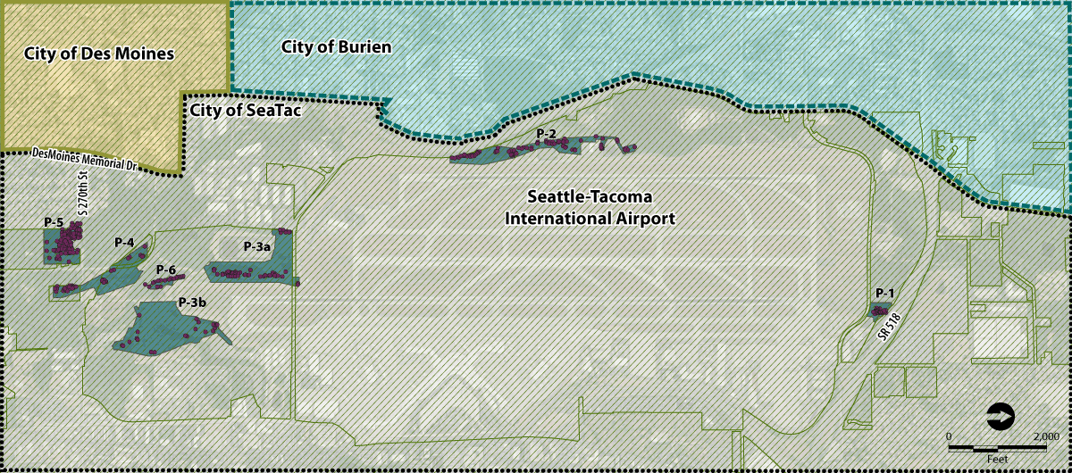
A GIS map showing Seattle-Tacoma International Airport (Sea-Tac) and surrounding jurisdictions including the City of SeaTac, City of Burien, and City of Des Moines. The map identifies multiple labeled parcels or mitigation sites (P-1 through P-6, P-3a, P-3b) within and adjacent to the airport boundary, with SR-518 visible along the eastern edge and S 270th St and Des Moines Memorial Dr along the western edge.Open full document
Notes
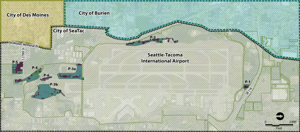
A GIS map showing Seattle-Tacoma International Airport (Sea-Tac) and surrounding jurisdictions including the City of SeaTac, City of Burien, and City of Des Moines. The map identifies multiple labeled parcels or mitigation sites (P-1 through P-6, P-3a, P-3b) within and adjacent to the airport boundary, with SR-518 visible along the eastern edge and S 270th St and Des Moines Memorial Dr along the western edge.