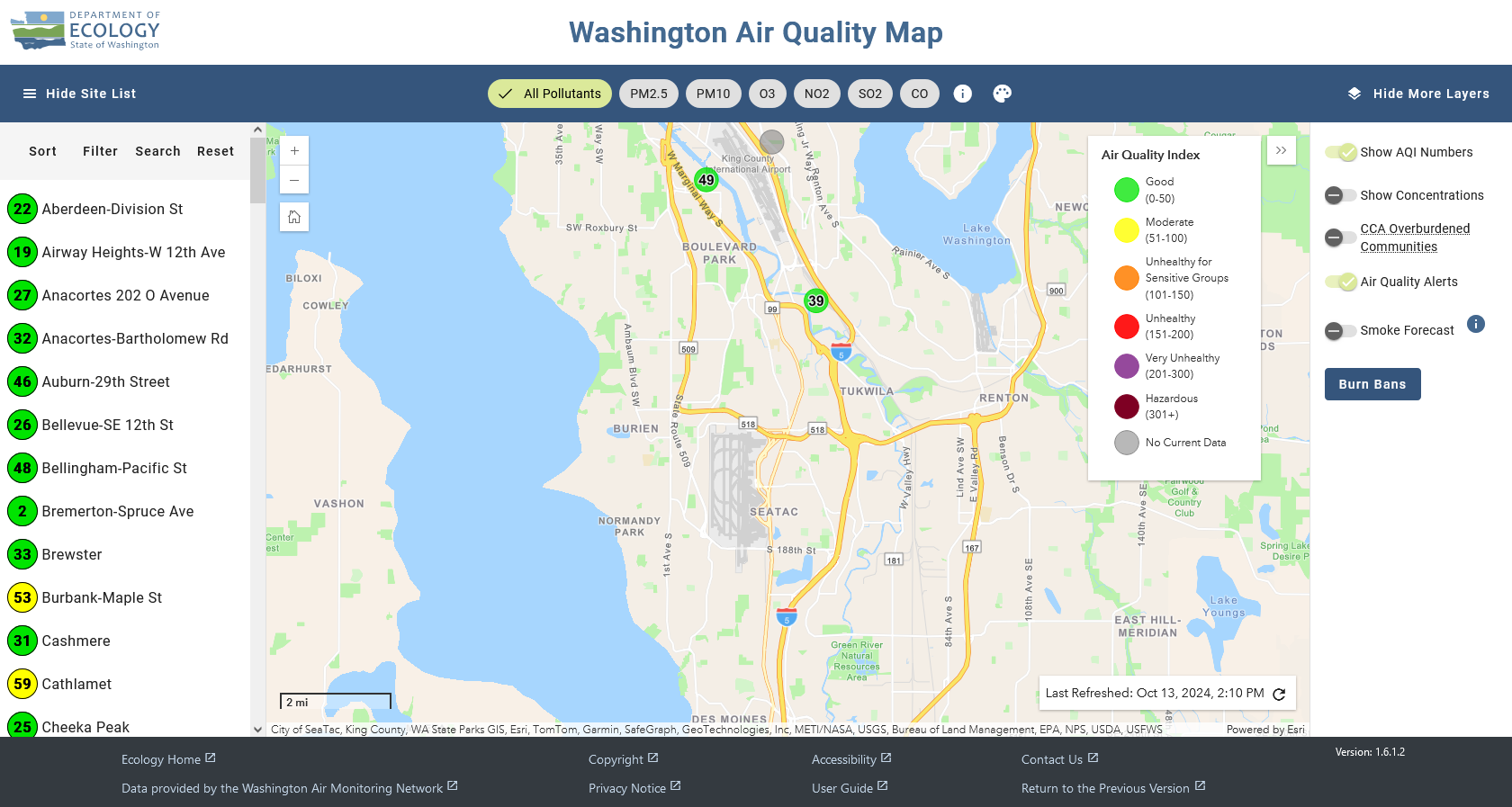
A screenshot of the Washington Department of Ecology's real-time Air Quality Index (AQI) web map, last refreshed October 13, 2024 at 2:10 PM, showing monitoring stations across the greater Seattle–Sea-Tac–Renton area with AQI readings (e.g., 49 near King County International Airport, 39 near Tukwila). The map displays all pollutants including PM2.5, PM10, O3, NO2, SO2, and CO, with a color-coded AQI legend ranging from Good (0–50) to Hazardous (301+).Open full document
Notes
A screenshot of the Washington Department of Ecology’s real-time Air Quality Index (AQI) web map, last refreshed October 13, 2024 at 2:10 PM, showing monitoring stations across the greater Seattle–Sea-Tac–Renton area with AQI readings (e.g., 49 near King County International Airport, 39 near Tukwila). The map displays all pollutants including PM2.5, PM10, O3, NO2, SO2, and CO, with a color-coded AQI legend ranging from Good (0–50) to Hazardous (301+).