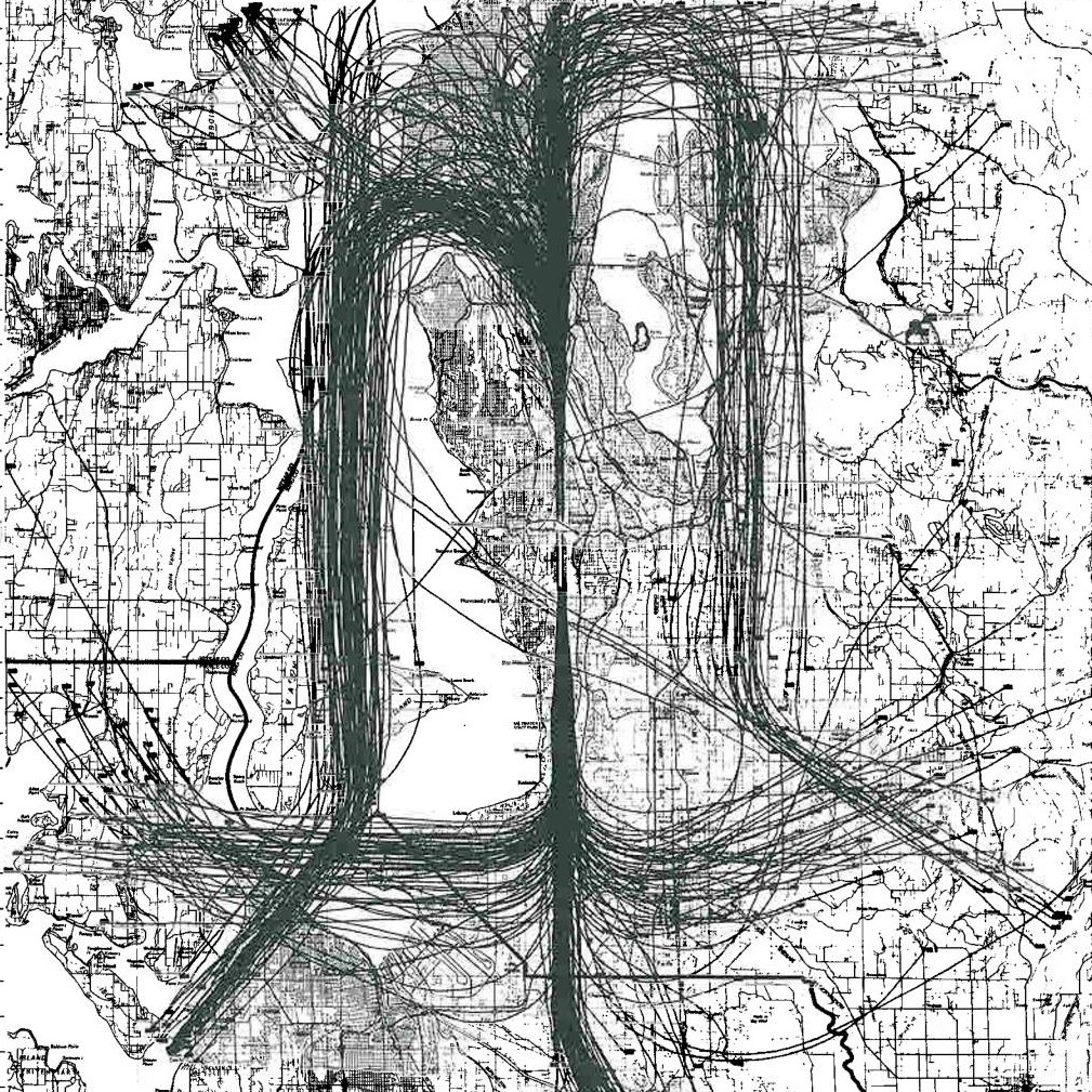
A dense overlay of curved lines suggesting flight tracks or vehicle routes is superimposed on a black-and-white regional road and land-use map. The underlying map appears to show a mid-sized American metropolitan area with lakes, grid streets, and place names, though specific text is largely illegible at this resolution.Open full document
Notes
A dense overlay of curved lines suggesting flight tracks or vehicle routes is superimposed on a black-and-white regional road and land-use map. The underlying map appears to show a mid-sized American metropolitan area with lakes, grid streets, and place names, though specific text is largely illegible at this resolution.