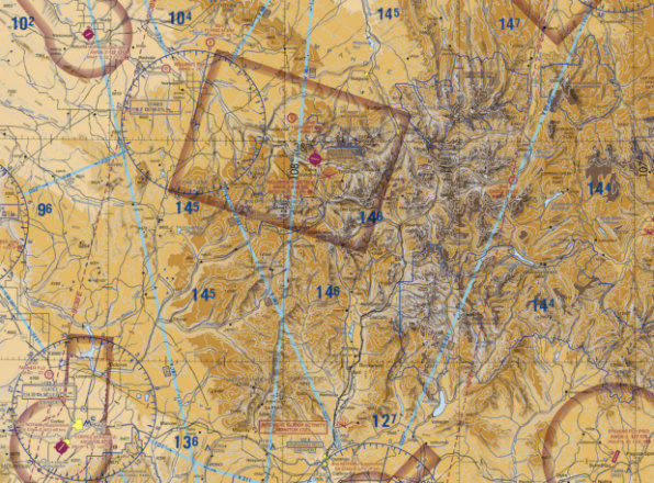
A sectional aeronautical chart showing terrain elevation data with numbers such as 145, 136, 127, and 102 visible, likely representing Maximum Elevation Figures (MEFs) in hundreds of feet. A brown rectangular box outline is drawn on the chart, possibly delineating a special use or restricted airspace area over mountainous terrain.Open full document
Notes
A sectional aeronautical chart showing terrain elevation data with numbers such as 145, 136, 127, and 102 visible, likely representing Maximum Elevation Figures (MEFs) in hundreds of feet. A brown rectangular box outline is drawn on the chart, possibly delineating a special use or restricted airspace area over mountainous terrain.