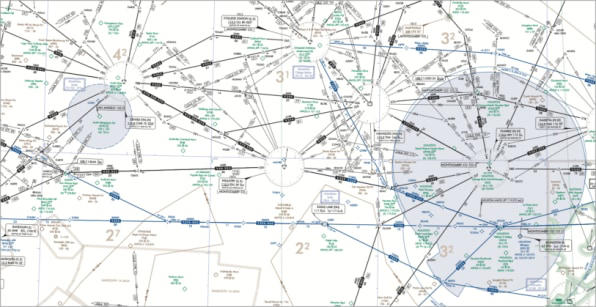
A segment of an IFR (Instrument Flight Rules) en route aeronautical navigation chart showing airways, VOR stations, waypoints, altitude restrictions, and controlled airspace boundaries depicted in blue, green, and orange. The chart includes multiple radial lines emanating from navigation aids, airway identifiers, and minimum en route altitudes typical of FAA IFR low or high altitude en route charts.Open full document
Notes
A segment of an IFR (Instrument Flight Rules) en route aeronautical navigation chart showing airways, VOR stations, waypoints, altitude restrictions, and controlled airspace boundaries depicted in blue, green, and orange. The chart includes multiple radial lines emanating from navigation aids, airway identifiers, and minimum en route altitudes typical of FAA IFR low or high altitude en route charts.