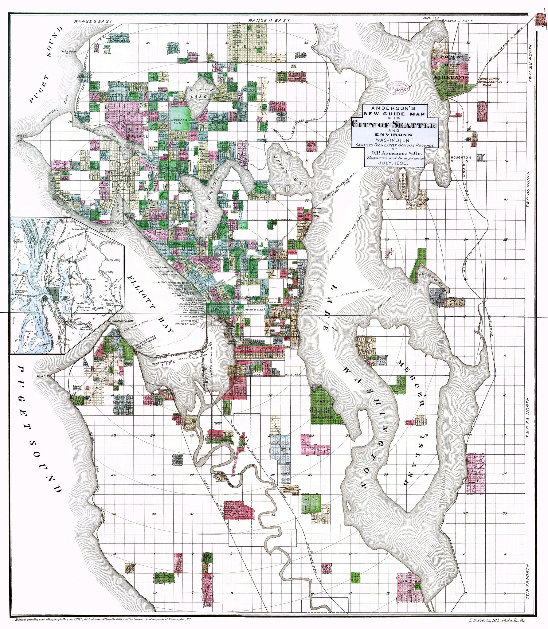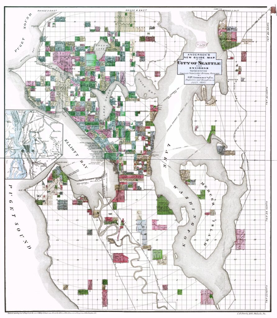
A detailed cadastral map of Seattle, Washington, compiled from latest official records by O.P. Anderson & Co., Engineers and Draughtsmen, dated July 1890. The map shows Elliott Bay, Puget Sound, Lake Union, Lake Washington, Mercer Island, and surrounding townships including Ballard, Kirkland, and Green Lake, with land parcels color-coded and a small inset map in the lower left corner.Open full document
Notes
A detailed cadastral map of Seattle, Washington, compiled from latest official records by O.P. Anderson & Co., Engineers and Draughtsmen, dated July 1890. The map shows Elliott Bay, Puget Sound, Lake Union, Lake Washington, Mercer Island, and surrounding townships including Ballard, Kirkland, and Green Lake, with land parcels color-coded and a small inset map in the lower left corner.