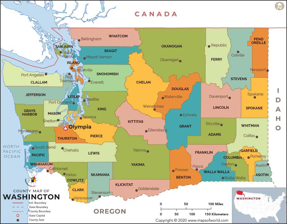
A color-coded county map of Washington State published by mapsofworld.com (copyright 2020), showing all counties with their seats, the state capital Olympia, and borders with Canada, Idaho, and Oregon. The map includes Puget Sound-area counties relevant to Sea-Tac Airport noise policy, including King County (Seattle/Tacoma area) and Pierce County.Open full document
Notes
A color-coded county map of Washington State published by mapsofworld.com (copyright 2020), showing all counties with their seats, the state capital Olympia, and borders with Canada, Idaho, and Oregon. The map includes Puget Sound-area counties relevant to Sea-Tac Airport noise policy, including King County (Seattle/Tacoma area) and Pierce County.