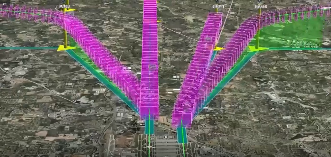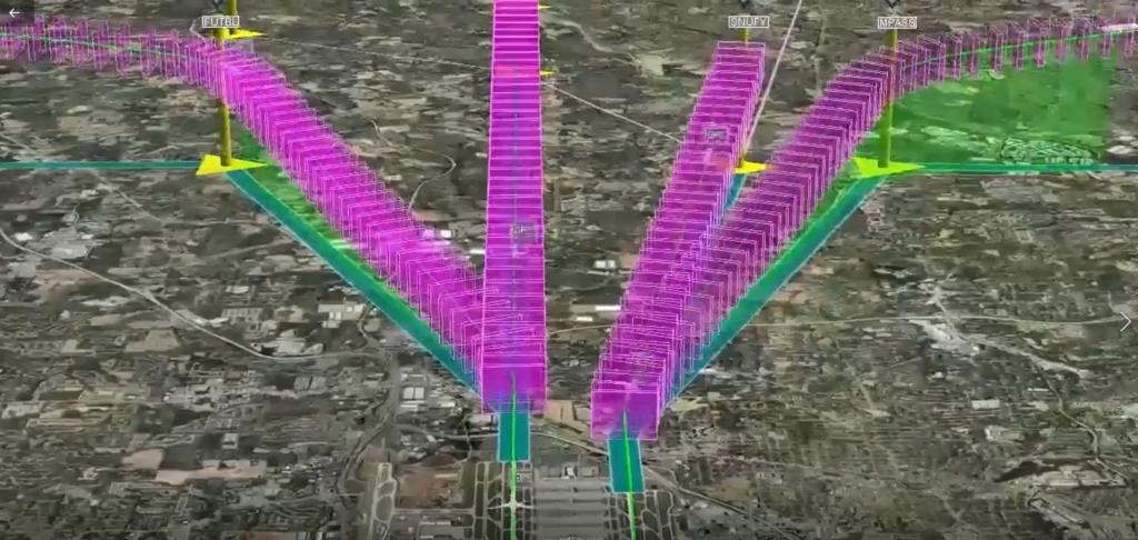
A 3D aviation airspace visualization overlaid on aerial/satellite imagery shows multiple instrument flight procedure paths (pink/magenta volume boxes) converging toward what appears to be an airport at the bottom of the frame. Visible waypoint labels include FUTBL, SNUFY, and MPASS, with yellow navigation fix markers and teal/green lateral path centerlines depicted.Open full document
Notes
A 3D aviation airspace visualization overlaid on aerial/satellite imagery shows multiple instrument flight procedure paths (pink/magenta volume boxes) converging toward what appears to be an airport at the bottom of the frame. Visible waypoint labels include FUTBL, SNUFY, and MPASS, with yellow navigation fix markers and teal/green lateral path centerlines depicted.