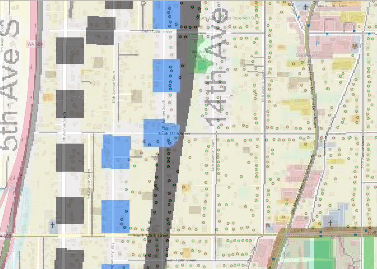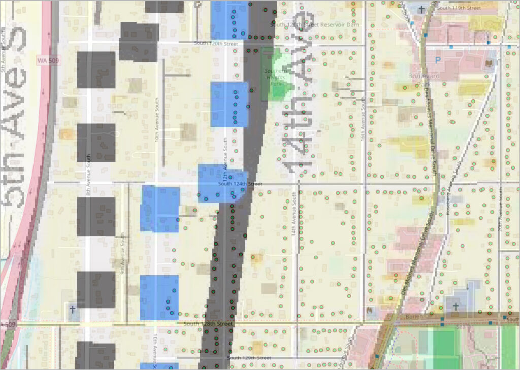
A zoning or noise-impact map centered on the 12th Avenue South corridor between South 119th and South 129th Streets in the Sea-Tac/Burien area of Washington State (WA 509 visible at left). Blue and gray shaded parcels likely denote properties affected by airport noise policy, with green dot markers indicating individual addresses or survey points; landmarks visible include Southern Heights Park, South 120th Street Reservoir Dam, and the city of Burien.Open full document
Notes
A zoning or noise-impact map centered on the 12th Avenue South corridor between South 119th and South 129th Streets in the Sea-Tac/Burien area of Washington State (WA 509 visible at left). Blue and gray shaded parcels likely denote properties affected by airport noise policy, with green dot markers indicating individual addresses or survey points; landmarks visible include Southern Heights Park, South 120th Street Reservoir Dam, and the city of Burien.