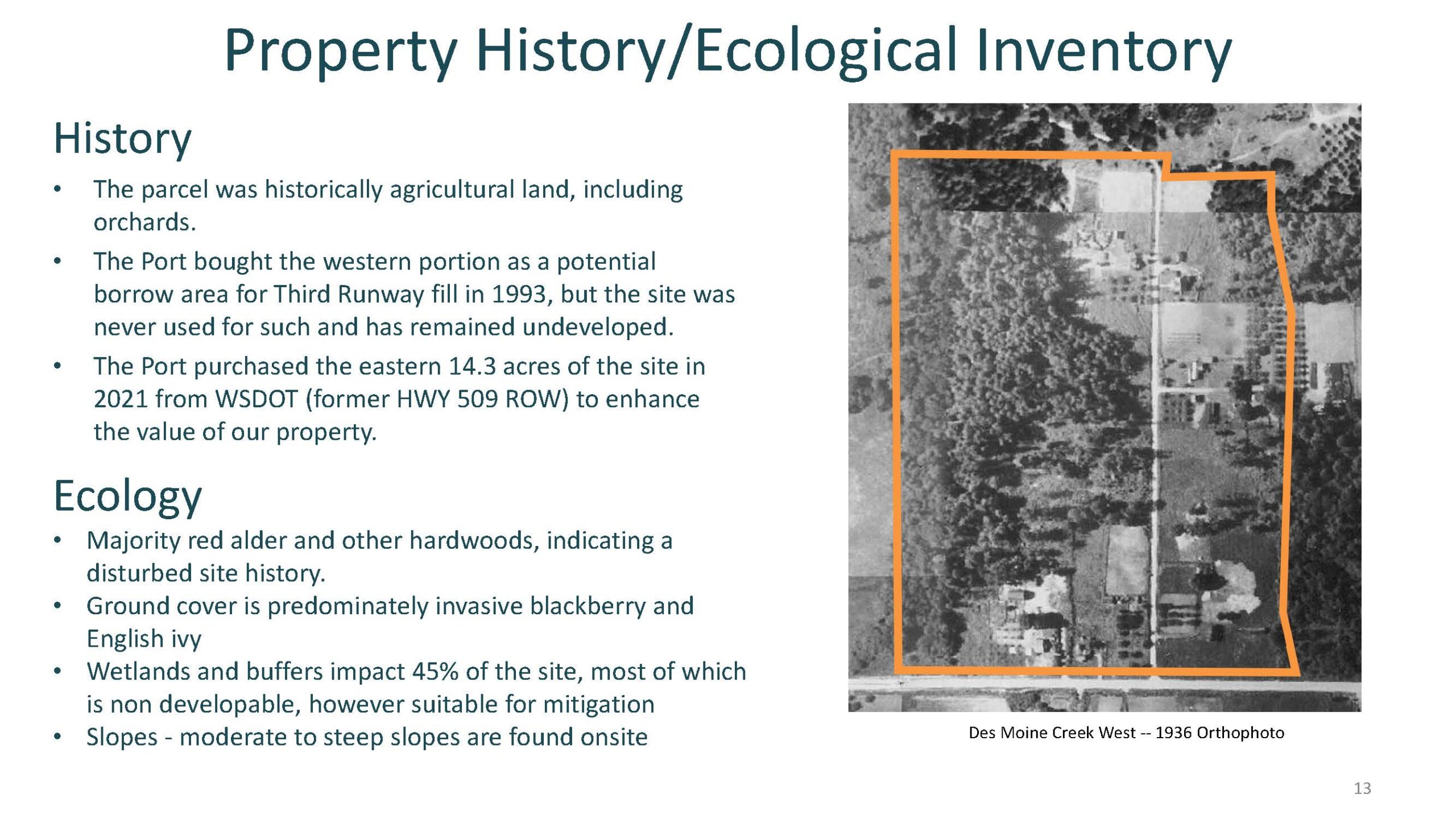
A 1936 aerial orthophoto of the Des Moine Creek West parcel near Sea-Tac Airport, with the property boundary outlined in orange. The slide documents the parcel's history as agricultural/orchard land, the Port of Seattle's 1993 acquisition of the western portion as a potential borrow area for Third Runway fill, and the 2021 purchase of 14.3 eastern acres from WSDOT (former HWY 509 ROW).Open full document
Notes
A 1936 aerial orthophoto of the Des Moine Creek West parcel near Sea-Tac Airport, with the property boundary outlined in orange. The slide documents the parcel’s history as agricultural/orchard land, the Port of Seattle’s 1993 acquisition of the western portion as a potential borrow area for Third Runway fill, and the 2021 purchase of 14.3 eastern acres from WSDOT (former HWY 509 ROW).