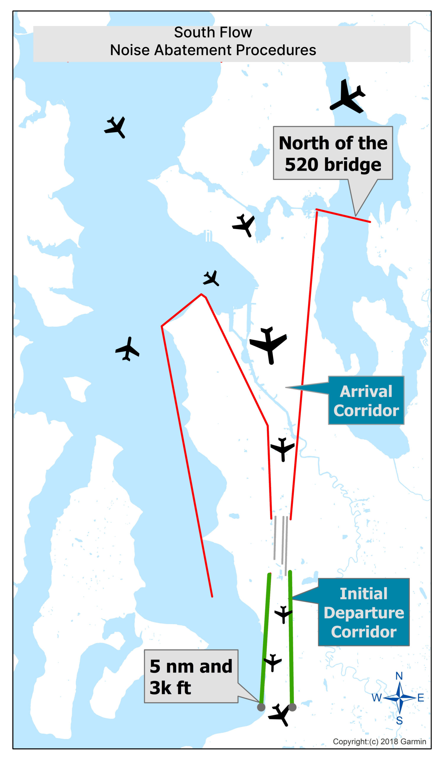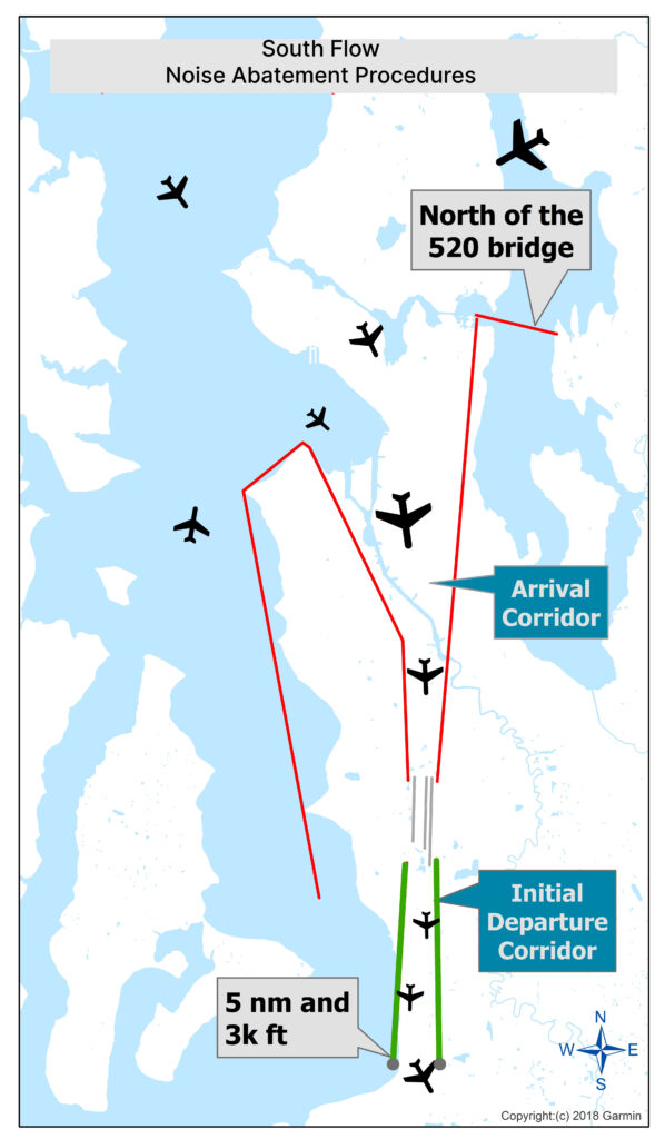
A 2018 Garmin-mapped diagram illustrating South Flow Noise Abatement Procedures for Sea-Tac Airport, showing the Arrival Corridor and Initial Departure Corridor routes relative to Lake Washington and the SR-520 bridge. Departures follow a northward initial corridor until reaching 5 nautical miles and 3,000 feet altitude, while arrivals are routed to stay north of the 520 bridge before turning south toward the airport.Open full document
Notes
A 2018 Garmin-mapped diagram illustrating South Flow Noise Abatement Procedures for Sea-Tac Airport, showing the Arrival Corridor and Initial Departure Corridor routes relative to Lake Washington and the SR-520 bridge. Departures follow a northward initial corridor until reaching 5 nautical miles and 3,000 feet altitude, while arrivals are routed to stay north of the 520 bridge before turning south toward the airport.