A map of the Seattle-Tacoma International Airport (Sea-Tac) area showing the locations of multiple fixed site agency air quality monitoring stations (marked with gold stars) around the airport's airspace, including sites near WA 518, WA 509, WA 99, and South 216th Street. The annotation states that the 'Complete Fixed Site Agency Monitor Network captures aviation emissions across entire airspace,' with arrows connecting the monitoring locations.Open full document
Notes
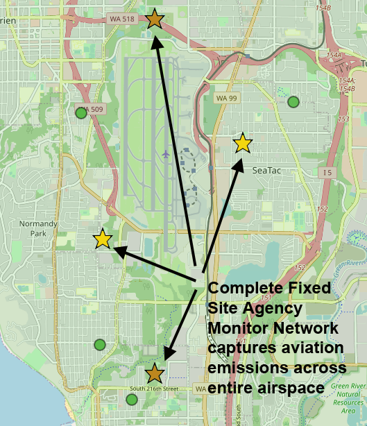
A map of the Seattle-Tacoma International Airport (Sea-Tac) area showing the locations of multiple fixed site agency air quality monitoring stations (marked with gold stars) around the airport’s airspace, including sites near WA 518, WA 509, WA 99, and South 216th Street. The annotation states that the ‘Complete Fixed Site Agency Monitor Network captures aviation emissions across entire airspace,’ with arrows connecting the monitoring locations.