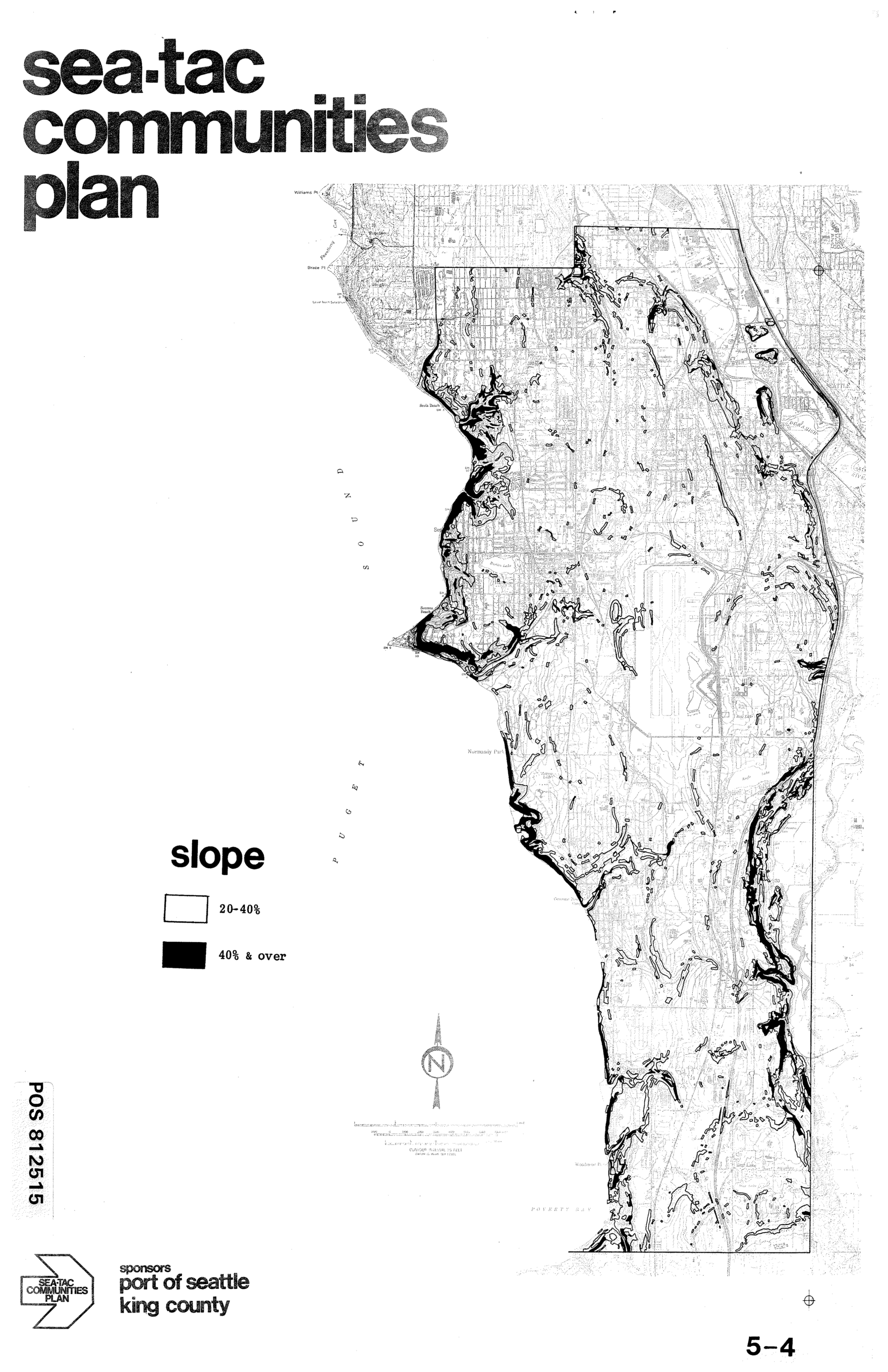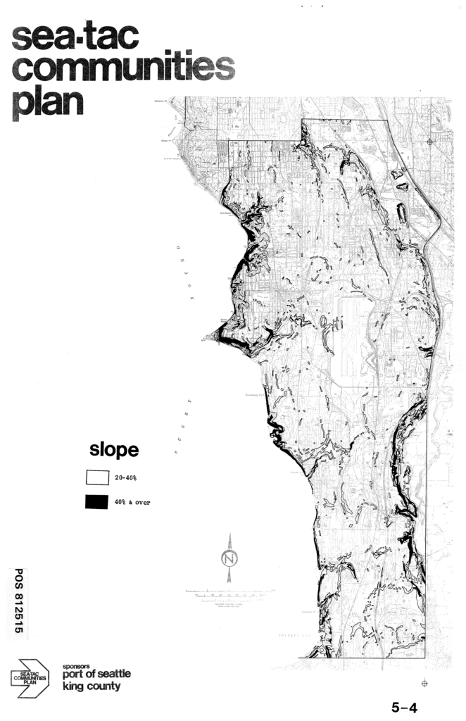
This is page 5-4 of the Sea-Tac Communities Plan, a planning document sponsored by the Port of Seattle and King County (POS 812515). It presents a slope map of the Sea-Tac area showing terrain gradients, with legend categories of 20–40% slope (white) and 40% and over (black), highlighting steep areas particularly along the Puget Sound shoreline.Open full document
Notes
This is page 5-4 of the Sea-Tac Communities Plan, a planning document sponsored by the Port of Seattle and King County (POS 812515). It presents a slope map of the Sea-Tac area showing terrain gradients, with legend categories of 20–40% slope (white) and 40% and over (black), highlighting steep areas particularly along the Puget Sound shoreline.