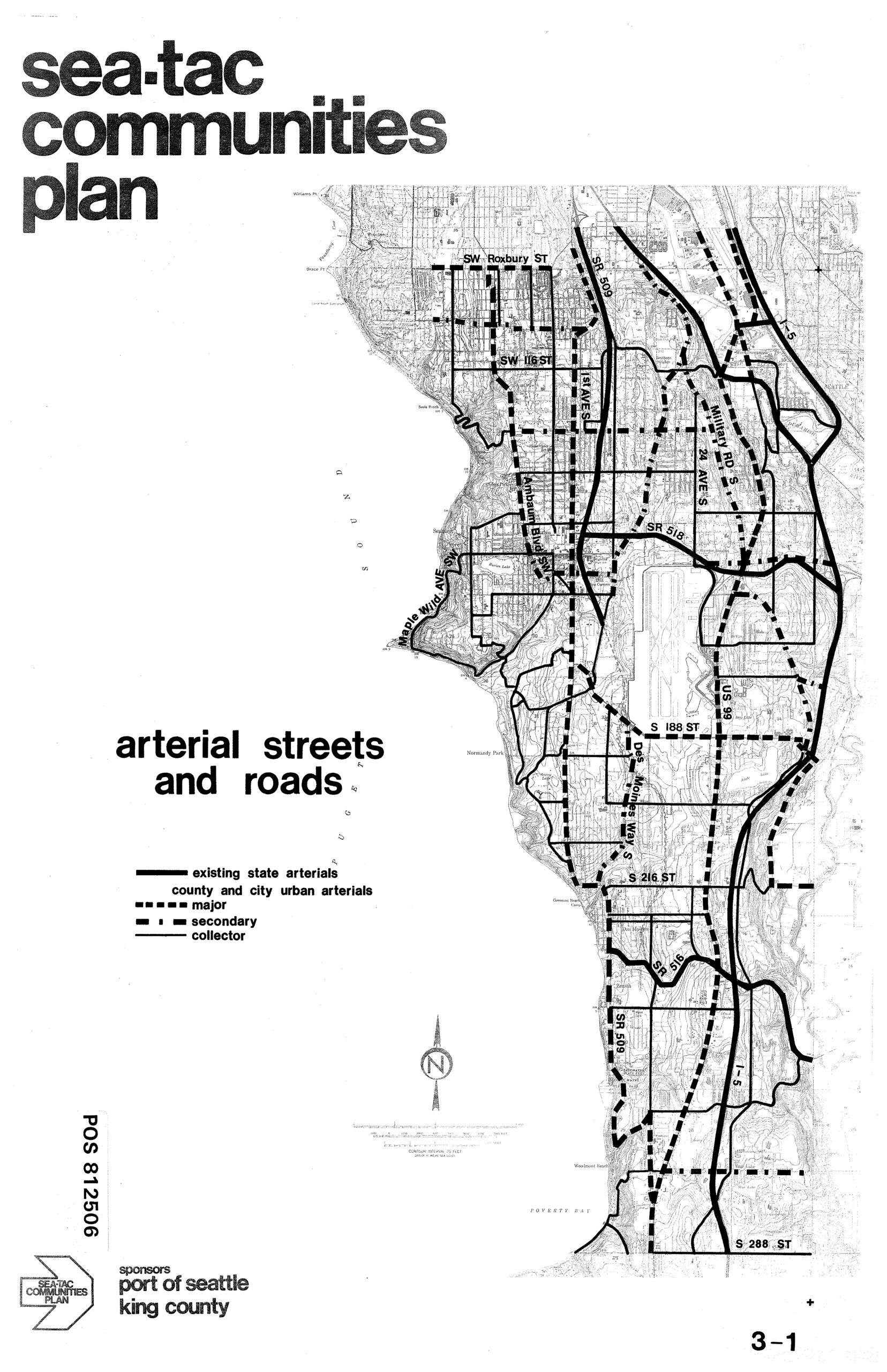
This is page 3-1 of the Sea-Tac Communities Plan, sponsored by the Port of Seattle and King County (document reference POS 812506). The map depicts existing and planned arterial streets and roads in the Sea-Tac area, classifying routes as existing state arterials, major urban arterials, secondary arterials, and collectors, with labeled roads including SW Roxbury ST, SR 518, Military Road S, US 99, Des Moines Way S, SR 516, SR 509, I-5, and S 288 ST.Open full document
Notes
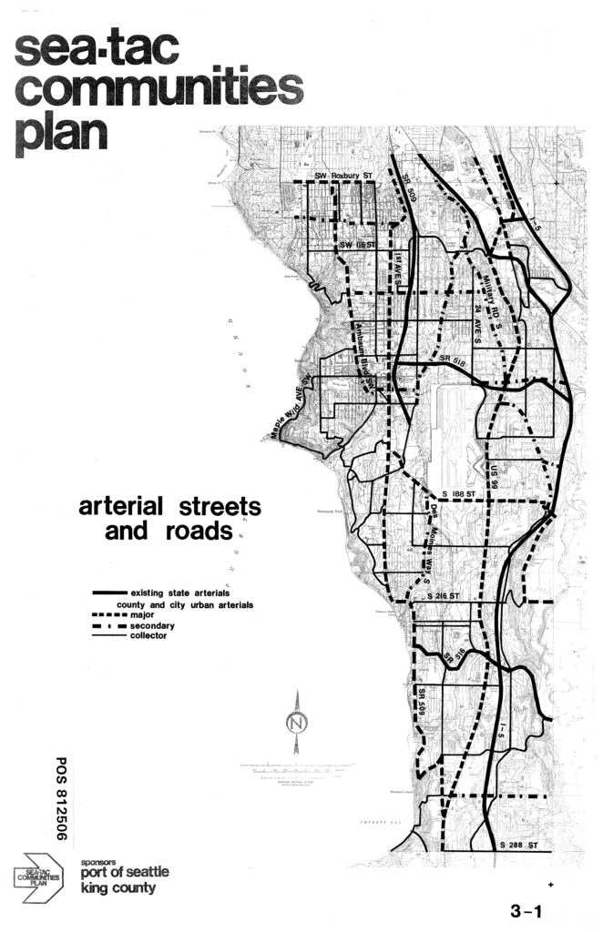
This is page 3-1 of the Sea-Tac Communities Plan, sponsored by the Port of Seattle and King County (document reference POS 812506). The map depicts existing and planned arterial streets and roads in the Sea-Tac area, classifying routes as existing state arterials, major urban arterials, secondary arterials, and collectors, with labeled roads including SW Roxbury ST, SR 518, Military Road S, US 99, Des Moines Way S, SR 516, SR 509, I-5, and S 288 ST.