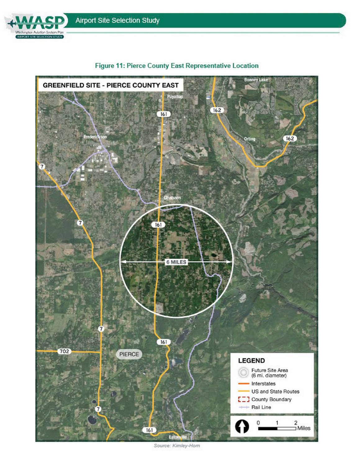
Figure 11 from the Washington Aviation System Plan (WASP) Airport Site Selection Study, produced by Kimley-Horn, showing a satellite aerial map of a proposed greenfield airport site in Pierce County East near Graham, Washington. The map identifies a 6-mile diameter future site area circle centered near SR-161, with surrounding communities including Puyallup, Frederickson, Orting, and Bonney Lake visible, along with state routes 7, 161, 162, and 702.Open full document
Notes
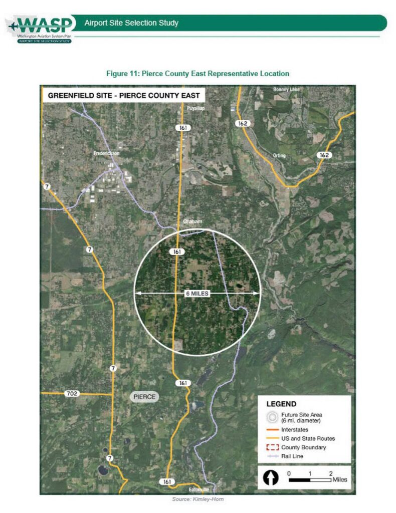
Figure 11 from the Washington Aviation System Plan (WASP) Airport Site Selection Study, produced by Kimley-Horn, showing a satellite aerial map of a proposed greenfield airport site in Pierce County East near Graham, Washington. The map identifies a 6-mile diameter future site area circle centered near SR-161, with surrounding communities including Puyallup, Frederickson, Orting, and Bonney Lake visible, along with state routes 7, 161, 162, and 702.