TagPollution Control Hearings Board(1507)
-
EXH1214047400
3.2.5 South Aviation Support Area (SASA)/Tyee Valley Golf Course ............. 3-53 3.2.6 Industrial Waste System (IWS) .................................................................. 3-58 3.2.7 SASA Detention Pond Area ....................................................................... 3-59 4. SUMMARY .......................................................................................................................... 4-1 5. REFERENCES ...................................................................................................................... 5-1 APPENDICES A WETLAND DELINEATION REPORT - AUBURN MITIGATION SITE B FIELD DATA SHEETS (Bound Separately) C PKIOR CONVERTED CROPLANDS AT THE VACCA FARM SITE D MAP ATLAS E PREVIOUSLY DELINEATED WETLANDS Wetland Delineation Report - Master Plan Update Improvement December i 1, 2000 Seattle Tacoma International Airport, Port of Seattle ii 5J6-2912-001 (41) Parametrix, Inc. G.._Dmw,_,o_cgt291._JJ291101141w_,_a,U_mal Wetlard _ llel_n.d_ AR 047402 LIST OF VlGURES Figure Page Location of Seattle-Tacoma International Airport ............................................................... 1-3 Wetland Study Area for the Master Plan Update Improvements at STIA ........................... 1-4 Location of Existing Water Features, Stormwater Facilities, Watershed Boundaries. and Acquisition Area of STIA .............................................................................................. 3-2 Wetlands in the Miller Creek Basra Near STIA ................................................................... 3-4 Wetlands in the Des Momes Creek Basra Near STIA .......................................................... 3-5 Aerial Photograph of Borrow Area 1 (1980) ...................................................................... 3-44 Aerial Photograph of Borrow Area 1 (1996) ...................................................................... 3-45 LIST OF TABLES Table Key to plant indicator status .................................................................................................. 2-3 Plant species observed in the STIA Master Plan Update study area.................................... 3-8 Summary of wetland and Other Waters of the U.S. areas in the STIA Master Plan Update improvements area ................................................................... 3-11 Significant wetlands near the STIA project area ................................................................ 3-16 Wetland Delineation Report - Master Plan Update Improvement December I 1, 2000 SeattleParanmt_,Tacoma_¢.Internati°nal A_rport, Port of Seallle. iii 556-2912-001 (41) Gl'g)mm_g1291.%L_.',lPI,._lWIv,wlaglIF_llP/_kp_d_ IMm_lb¢ AR 047403… -
EXH1203046024
- Ground Water Level Monitoring- Qva Aquifer - Ground Water Flow Model • Fate & Transport Issues - Agreed Order Sites - Potential Sites - Exposure Pathway Analysis - Summary. of Qva Aquifer Analytical Data - TPFI Data Gap Analysis - Compounds of Concern Proposed for Fate & Transport Modeling AR 046024 1203 In Q /.D < >., O _ • o') I-- o O !__ L II II L • II l__ L L__ L_ l__ l__. I .... l_.. I_. I__ I I _m Lt"_ •-" _. ;_ "'- "8 ,¢_, o O_ ! A • • . O _ -Z.: 5 z_ _ _i ._,, _;er, . __ OOD ,.,, r_ t _ILl X , I-" . g_K £/') A , -_ _i AR 046036 -
EXH1186045478
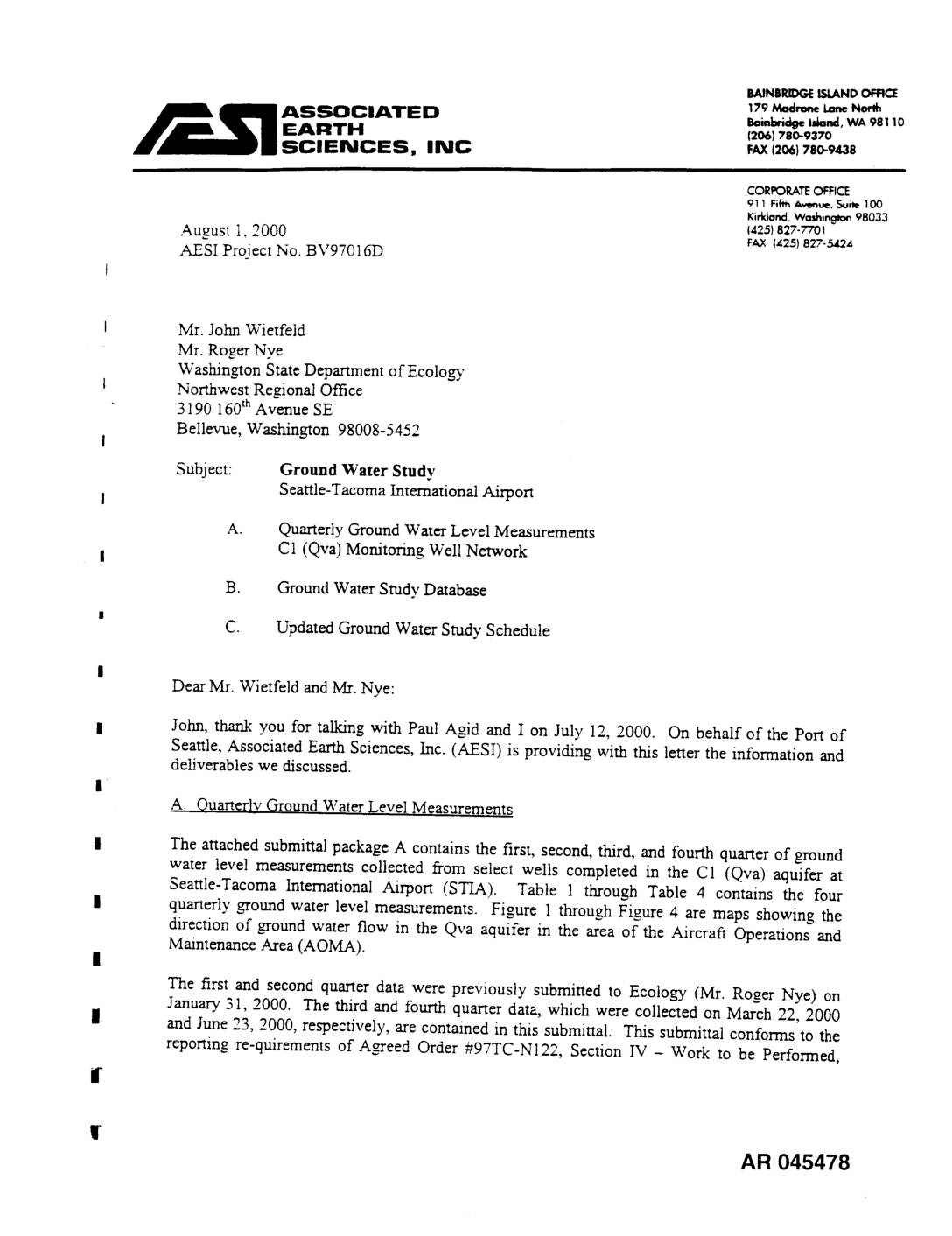
John, thank you for talking with Paul Agid and I on July 12, 2000. On behalf of the Port of Seattle, Associated Earth Sciences, Inc. (AESI) is providing with this letter the information and deliverables we discussed. A. Quarterly Qround Water Level Measurements The attached submittal package A contains the first, second, third, and fourth quarter of ground water level measurements collected from select wells completed in the C1 (Qva) aquifer at Seattle-Tacoma International Airport (STIA). Table 1 through Table zl contains the four quarterly ground water level measurements. Figure 1 through Figure 4 are maps showing the direction of ground water flow in the Qva aquifer in the area of the Aircraft Operations and Maintenance Area (AOMA). The first and second quarter data were previously submitted to Ecology (Mr. Roger Nye) on January 31, 2000. The third and fourth quarter data, which were collected on March 22, 2000 and June 23, 2000, respectively, are contained in this submittal. This submittal conforms to the reporting re-quirements of Agreed Order #97TC-N122, Section IV - Work to be Performed, AR 045478 Mr. John Wieffeld Mr. Roger Nye AESI Project No. Br97016D August 1, 2000 Page 2 Item 2. The reporting requirements under Item 2 can be considered complete based on the data attached to this letter. Quarterly or more frequent water level data were obtained from the following wells, the loca- tions of which are shown on the ground water flow direction maps (Figure 1 through Figure 4). J Well Well Owner… -
-
EXH1148043187
_i_ ASSOCIATED SCALE REGIONAL GEOLOGIC CROSS SECTION B-B" PART 1 eV97016J _V_..__tl I EARTH m,_.,mlO/4/9g Horizoritol 1" : 2000' Sf.o 0+00 TO Sto 280+00 , ._ lir_ • SCIENCES, INC II_HM/TEAM Verticol 1" = 100' Seottle - Tocomo Internotionol Airport '_. iD ix! BV97016J-05.dwg t.emoOed 10/04/99 1:1 i | 8 8 o Matchlino - For Continuation See Part 1 _40+00 - _ clio. G-G' In|erse¢lion "4 U1 4- 280+00 _ / _ 280+00 ut r r r r / r r r3 ° - • - 4- _- X 4- *a / " _ e '_ " Q / _ 3oo+oo- ( _, XI Se lion F-?' _ Intersection 4- £ .1/ II i-,! •320+00 ._ / I ,_ 4. ' x / I _4o+oo ! \ \ / / / II _ / / f / / I / c_I 350+00 n ' [-_.r. -' LI _ / / / / /_/ ,r,,_,,'.i,,o o ! _ , __ ,.,....o,,oo 4oo+oo i, .r lit ,, ,,., | ,_o+oo I _.s_l" _-_ "_I_ ....... '" e, ",_ a ]' II " _ 4., _,4. - I • iPreliminary I :20 EARTH NAL GEOLOGIC CROSS SECTION B-B' PART 2 ,_=, .o i_41:=, SCIENCES, INC_ Vertical" 1" = 100' t 280+00 to 445+00 [ BV97016J Seattle -Tocomo International Airport -_..,o t.D BV9701P_-O6.dw 9 titemOded 10/04/99 I: I C C" WEST EAST CISo ./ Wd So CA So SO �CI ° Bl/i7016J-07,dwg tjemoded 09/17/99 I:1 0+00 0 E -i- t / 20+00 I_.m Section… -
EXH1134042987
Groundwater ElevationContour Map - Shallow RegionalAquifer, Borrow Area 3 GroundwaterElevationContourMap - PerchedWater-Bearin8 Zone, Borrow Areas3 and 4 PerchedWater-BearingZone CrossSection C-C', Borrow Area 3 Hart Crowser J..4978-02 Pagei AR 042988 CONTENTS (Continued) Parle APPENDIX A FIELD EXPLORATIONS METHODS AND ANALYSIS Explorations and Their Location A-I The Use of Dual-Wall Percussion Hammer Drilling with Reverse Circulation A-2 Penetration Test Procedures A-3 Groundwater Observation Well Installation A-4 FIGURES A-I Keyto ExplorationLogs A-2 throughA-7 BoringLogAI-BI 0-99throughAI-B14-99 A-8 through A-12 Boring LogA3-Bg-98throughA3-B12-98 A-I 3 throughA-I 5 Boring LogA4-B4-9Bthrough A4-B6-98 A-I 6 through A-20 Boring LogA3-B13-99through A3-BI 7-99 A-21 AGI SoilClassification�Legend A-22 AGI Logof Area I Boring3 A-23 AGI Logof Area I Boring9 A-24 AGI Logof Area 3 Boring 3 A-25 AGI Logof Area 3 Boring7 A-26 AGI Logof Area 4 Boring I A-27 AGI Log of Area 4 Boring2 APPENDIX B LABORATORY TESTING PROGRAM Soil Classification B-I Water Content Determinations B-1 Grain Size Analysis (GS) B-2 200-Wash Based on the Fraction Less Than the 3 Sieve (GS_) B-2 FIGURES B-1 UnifiedSoilClassification(USC)System B-2throughB-7 Grain Size DistributionTestReport Hart Crowser J-4978-02 Pageii AR 042989 CONTENTS (Continued) Page APPENDIX C BORROW AREA 3 PERCHED WATER-BEARING ZONE SLUG TEST ANALYSIS Hydraulic Conductivity Testing (Slug Testing) C-1 TABLE C-1 Hydraulic Conductivity Calculations for Wells in Unconfined Aquifers C-3 Proposed Borrow Area 3 FIGURES C-1 Log of Normalized Drawdown vs. Time for A3-B13-9 C-2 Log of Normalized Drawdown vs.Time for A3-B-15-99 C-3 Log of Normalized Drawdown vs. Time for A3-B16-99 C-4 Log of Normalized Drawdown vs. Time for A3-B17-99 Hart Crowser ,I-4978-02… -
EXH1127042630
m. REFINED IDENTIFICATION OF AFFECTED WETLANDS AND STREAMS ......... 14 I.WetlandIdentificationProcess..................................................................................................................14 2. Wetlands m the Study Area - Comparison of Original Identification of Affected Wetlands With Refined Identification of Affected Wetlands ............................................................................................. 15 3. Characterization of Wetlands ..................................................................................................................... 26 4. Location of Miller Creek ........................................................................................................................... 28 IV. REFINED WETLAND IMPACT ANALYSIS ................................. 30 1. Permanent Impacts ..................................................................................................................................... 32 2. Temporary Consu'uction Impacts .............................................................................................................. 38 3. Indirect Impacts ......................................................................................................................................... 42 4. Cumulative Impacts ................................................................................................................................... 44 5. Impact Avoidance and Mitigation ............................................................................................................. 44 V. HYDROLOGY AND SEISMIC STABILITY .................................................................. 47 1. Mechanically Stabilized Earth ................................................................................................................... 47 2. Fill Zones and Stability .............................................................................................................................. ,*7 3. Impact on Hydrology ................................................................................................................................. 49 4. Mitigation of Post-Construction Hydrogeologic Impacts .......................................................................... 51 VI. MITIGATION PROGRAM ................................................................................................... 53 1. On-Site (In-Basra) Mitigation .................................................................................................................... 53 2. Off-Site Avian Habitat Miugation ............................................................................................................. 59 VII. CONCLUSION ......................................................................................................................... 66 Draft - Seattle-Tacoma International Airport i 0S/19/_ Wetlands Re-evaluation Document 50111601.03 AR 042631 Seame-Taconwinterna_l _rlx_f WetlandsR_--E%_!:.'_ionDocument ChapterI INTRODUCTION AND SUMMARY This Wetlands Re-evaluation Document addresses new information on wetlands and other aquaticresources that would be affected by the planned new runwayand other improvements at Seattle-TacomaInternationalAirport. This informationwas not available during preparation of the 1996 Final Environmental Impact Statement for the Proposed Master Plan Update Development Actions (1996 FEIS) and the 1997 Final Supplemental Environmental lmpact Statementfor the Master Plan Update Development Actions (1997 FSEIS). This document was preparedby the Port of Startle (Port) to report the Port's assessment of the new information on affected wetlands and determination that the existing environmental analyses under… -
EXH1126042613
FROM: ReeseP. Hastingsand Michael J.Bailey, P.E.,Hart Crowser, Inc. RE: Third Runway Project, Borrow Areas I, 3, and 4 Projected Impacts to Wetlands J-4978-02 CC: JamesC. Kelley, Ph. D., Parametrix, Inc. J.Thomson, P.E.,HNTB On-site Borrow A ctivities This memorandum quantifies the potential impacts to wetland resources resulting from development of Borrow Areas 1, 3, and 4, and an on-site haul route for use in the construction of the Third Runway embankment. Completion of the Third Runway embankment will require about million cubic yards of compacted earth fill. Use of borrow sites owned by the Port of Seattle (Port) to provide this material will significantly reduce air quality and local traffic impacts associated with haulage from off-site sources. The Final Environmental Impact Statement (FEIS)(prepared for Sea-TacInternational Airport's Proposed Master Plan update development actions) discussed development of construction fill material borrow areasfrom eight identified sources within property controlled by the Port. Based on several factors (wetlands impacts, material types, operational costs) the FinalSupplemental Environmental Impact Statement (FSEIS)indicated that four of these eight on-site resource areas could likely be used to extract a maximum quantity of 15.45 million cubic yards of fill material. Further study by the Port has focused on the Borrow Areas designated 1, 3, and 4, which are proposed to provide a combined total of 7.9 million cubic yards. Figure 1 - Site Location Map shows the location of Borrow Areas 1, 3, and 4. AR 042613 Port of Seattle J-4978-02 July 9, 1999 Page 2 Original resource estimates for two… -
EXH1124042505
Highline Water District Wells (Angle Lake and Des Moines) Water District #54 Well Field Figure 2 - AOMA map showing 13 Study Areas • United Airlines Fuel Farm/Continental Airlines Fuel Farm (UNFUF/CONFF) • Continental Airlines Hydrant System Closure (CONHS) • Northwest Airlines Fuel Farm (NWBFF) • Northwest Airlines Hydrant System Closure (NWABN) • Northwest Airlines Hangar Tanks (NWFHT) • South Satellite Baggage Tunnel (NW Airlines Hydrant Line)(-NWHS2) • Gate B2 (GATB2) • Delta Airlines Fuel Farm (DELFF) • Delta Airlines Auto-Gas Cluster Tanks (DELAG) • Pan American Airlines Fuel Farm (PAFFF) • Pan American Airlines Avgas Tanks (PAFAT) • Budget Auto Facility (BDGPL) • RAC Auto Facility (Hertz/National/Avis) (RACFT) 1124 AR 042505 Figure 3 - STIA Map showing airport environmental and geotechnical explorations Figure 4 - Regional Map showing Ground Water Wells and Cross Section Locations Id Wells by Aquifer (Perched. Qva. Qc(3). Qc(4) etc.) Figure 5 - Stratigraphic Column & Nonemclature Figure 6 - Cartoon of Conceptual Model Figure 7 - Representative East-West and North-South Cross Sections - Regional -STIA Figure 8 - Summary of Public Water Supply Wells Figure 9 -Ground Water Flow Map Qva Qc(3) Figure 10 - Hydrographs Qva Wells. Figure 11 - Summary of Aqifier Parameters Figure 12 - Summary of Presentation 042506 AR 042507 -
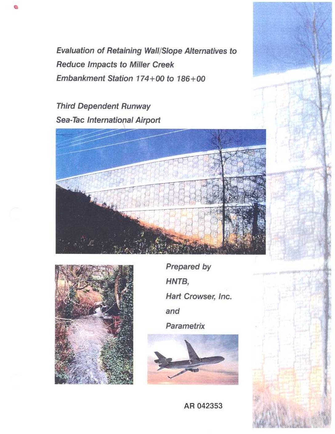
EXH1121042353
17900 INTERNATIONAL BLVD. ,J U L i d i999 SUITE301 SEATTLE, WA 98188 FOSTER PEPPER 8r, PHONE: (206)431-4970 SHEF'_,L]Vq " '*' .,.-,7 L.C TRANSMITTAL RECORD TO: Tom Walsh DATE: July 13, 1999 _T_ Enclosed please find one copy of the Wall/Slope Evaluation Document. X For Review and Approval Approved as Noted Approved Resubmit for Approval Not Approved Other: (see remarks) REMARKS: Your review comments are appreciated. Please note that my team and I would be happy to meet with you to discuss specific mitigation elements, comments, and/or issues. Our goal is to initiate renotice of our permit no later than August 6, 1999. Thank you for your assistance in this time sensitive issue. Very Truly yours, Barbara Hinkle AR 042354 COPYTO: Port of Seattle: Michael Cheyne, Traci Goodwin, . -_- John Rothnie, EarlMunday, Mary Vigilante, Jim ..... Thomson, Elizabeth Leavitt Foster, Pepper, & Sheffleman: Tom Walsh U.S. Army Corps of Engineers: Jonathon Freedman Department of Ecology: Erik Stockdale, Tom Luster, Ray Helwig, Kevin Fitzpatrick FAA: Cayla Morgan USFWS: Nancy Brennan-Dubbs USDA Wildlife Services: Roger Woodruff King County: David Masters WA Dept. ofFish and Wildlife: Phil Schneider U.S.E.P.A.: Steve Roy o 2355 TABLE OF CONTENTS Paqe EXECUTIVE SUMMARY ES-1 Introduction ES-1 Overview of the Evaluation Process ES-2 Summary of the Recommended Alternative ES-4 TABLE OF CONTENTS INTRODUCTION 1 SECTION 1 EXISTING CONDITIONS 1-1 Background 1-1 Site Description 1-1 2H: 1V Fill Slope Not a Viable Option for This Area 1-2 SECTION 2 EVALUATION OF GEOMETRIC ALTERNATIVES TO MINIMIZE OR AVOID CREEK…