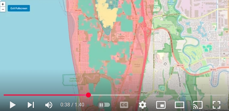
A screenshot from a YouTube video (timestamp 0:38 of 1:40) showing a GIS-style map of the area around Seattle-Tacoma (Sea-Tac) Airport, with overlapping colored zones (red, teal, yellow) likely representing noise contours or flight impact areas. The map shows Puget Sound to the west, SR 516 to the south, and surrounding communities including what appears to be Des Moines and Kent, Washington.Open full document
Notes
A screenshot from a YouTube video (timestamp 0:38 of 1:40) showing a GIS-style map of the area around Seattle-Tacoma (Sea-Tac) Airport, with overlapping colored zones (red, teal, yellow) likely representing noise contours or flight impact areas. The map shows Puget Sound to the west, SR 516 to the south, and surrounding communities including what appears to be Des Moines and Kent, Washington.