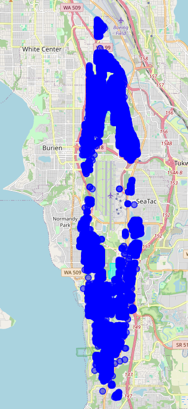
A map showing blue dot clusters representing aircraft noise complaint locations or flight track density around Seattle-Tacoma International Airport (Sea-Tac). The affected area spans from Boeing Field/White Center in the north through Burien, Normandy Park, and SeaTac southward along the WA-509 and WA-99 corridors, with visible highway labels including WA 509, WA 99, SR 518, and route markers 147–158.Open full document
Notes
A map showing blue dot clusters representing aircraft noise complaint locations or flight track density around Seattle-Tacoma International Airport (Sea-Tac). The affected area spans from Boeing Field/White Center in the north through Burien, Normandy Park, and SeaTac southward along the WA-509 and WA-99 corridors, with visible highway labels including WA 509, WA 99, SR 518, and route markers 147–158.