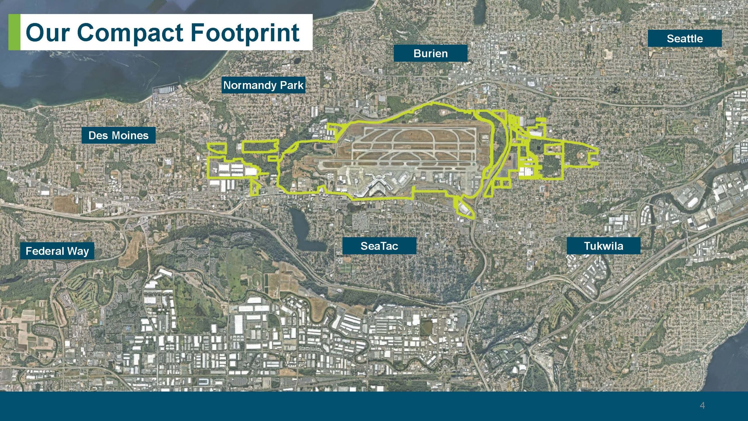
A presentation slide titled 'Our Compact Footprint' showing an aerial satellite map with a yellow boundary line delineating the SeaTac Airport property footprint. The map identifies surrounding cities including Seattle, Burien, Normandy Park, Des Moines, Federal Way, SeaTac, and Tukwila, and is labeled as slide 4 of a presentation.Open full document
Notes
A presentation slide titled ‘Our Compact Footprint’ showing an aerial satellite map with a yellow boundary line delineating the SeaTac Airport property footprint. The map identifies surrounding cities including Seattle, Burien, Normandy Park, Des Moines, Federal Way, SeaTac, and Tukwila, and is labeled as slide 4 of a presentation.