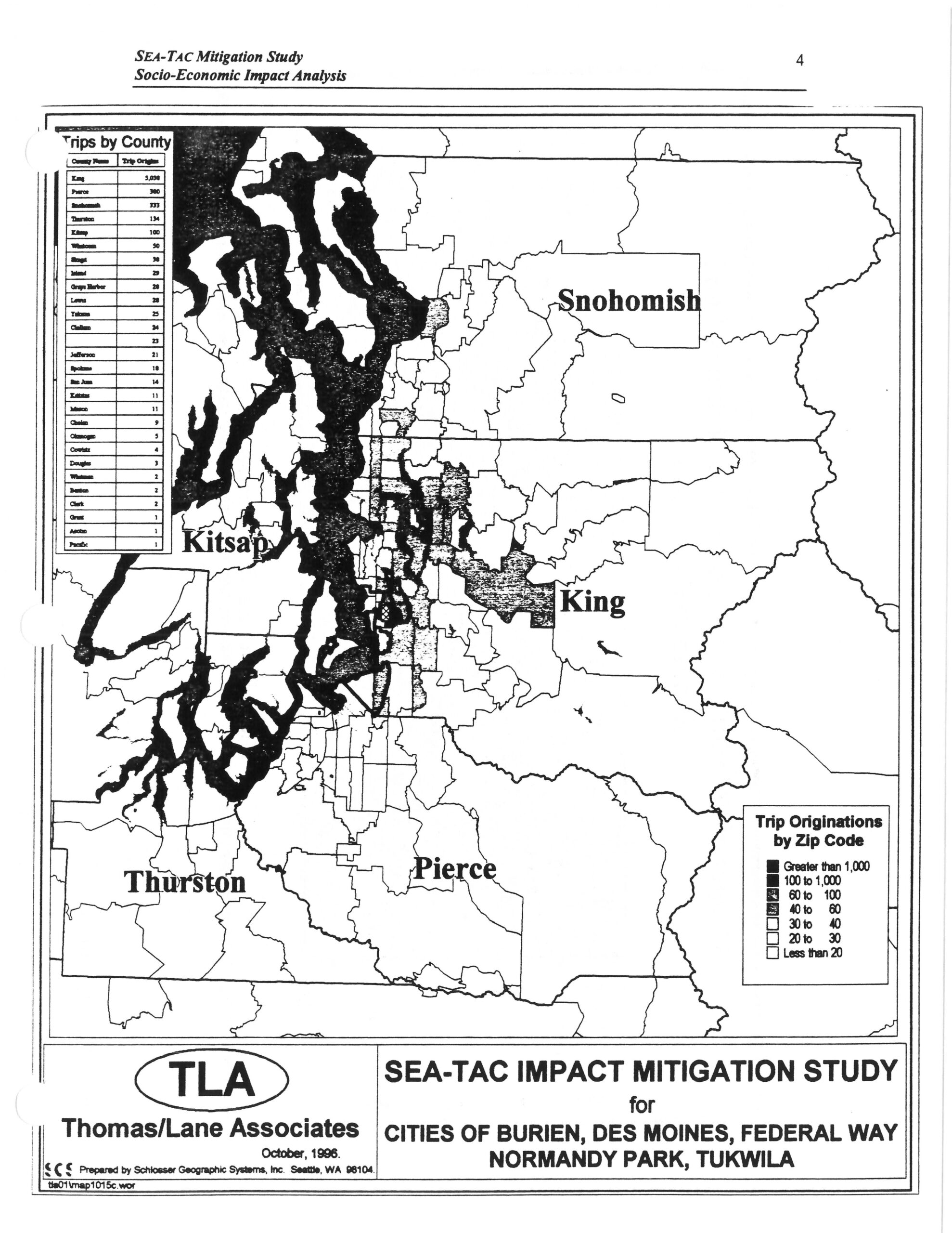
Page 4 of the SEA-TAC Mitigation Study Socio-Economic Impact Analysis, prepared by Thomas/Lane Associates (TLA) in October 1996 and mapped by Schlosser Geographic Systems, Inc., Seattle, WA. The map displays airport trip originations by zip code across Washington State counties—including King, Pierce, Snohomish, Kitsap, and Thurston—using shaded density categories, accompanied by a 'Trips by County' table listing King County with the highest trip origins (5,098), for the cities of Burien, Des Moines, Federal Way, Normandy Park, and Tukwila.Open full document
Notes
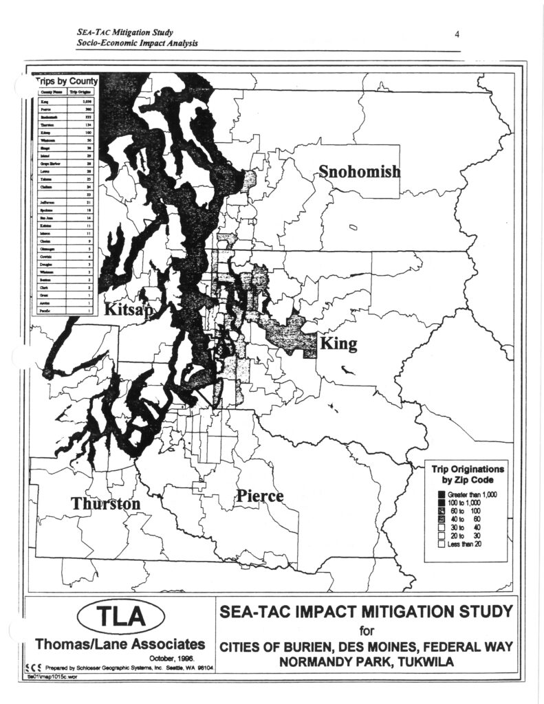
Page 4 of the SEA-TAC Mitigation Study Socio-Economic Impact Analysis, prepared by Thomas/Lane Associates (TLA) in October 1996 and mapped by Schlosser Geographic Systems, Inc., Seattle, WA. The map displays airport trip originations by zip code across Washington State counties—including King, Pierce, Snohomish, Kitsap, and Thurston—using shaded density categories, accompanied by a ‘Trips by County’ table listing King County with the highest trip origins (5,098), for the cities of Burien, Des Moines, Federal Way, Normandy Park, and Tukwila.