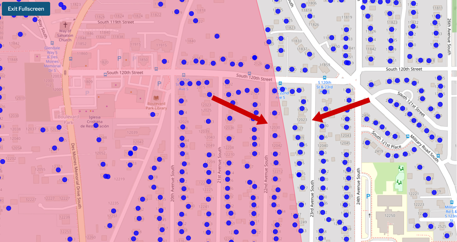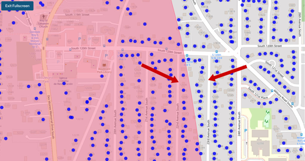
A web-based GIS map displaying a pink-shaded noise impact boundary zone overlaid on a residential street grid in the Boulevard Park neighborhood south of Seattle, near Sea-Tac Airport. Blue dots appear to mark individual properties or data points within and outside the noise contour, with red arrows pointing to specific locations near South 120th–121st Streets and 22nd–23rd Avenues South.Open full document
Notes
A web-based GIS map displaying a pink-shaded noise impact boundary zone overlaid on a residential street grid in the Boulevard Park neighborhood south of Seattle, near Sea-Tac Airport. Blue dots appear to mark individual properties or data points within and outside the noise contour, with red arrows pointing to specific locations near South 120th–121st Streets and 22nd–23rd Avenues South.