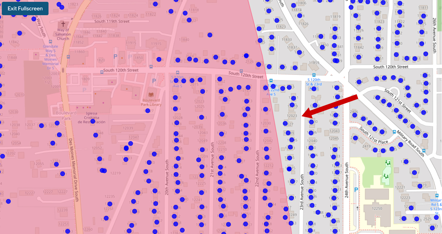
A web-based interactive map displaying a pink-shaded noise impact boundary zone overlaid on a residential street grid in the Boulevard Park neighborhood of South Seattle (approximately South 119th to South 123rd Streets, between Des Moines Memorial Drive South and 24th Avenue South). Blue dots appear to mark individual properties or data points within and outside the noise contour, with landmarks including Boulevard Park Library, Iglesia Cristiana de Restauración, and the S 120th St & 23rd Ave S bus stop visible; a red arrow highlights a specific location near South 121st Street and 23rd Avenue South.Open full document
Notes
A web-based interactive map displaying a pink-shaded noise impact boundary zone overlaid on a residential street grid in the Boulevard Park neighborhood of South Seattle (approximately South 119th to South 123rd Streets, between Des Moines Memorial Drive South and 24th Avenue South). Blue dots appear to mark individual properties or data points within and outside the noise contour, with landmarks including Boulevard Park Library, Iglesia Cristiana de Restauración, and the S 120th St & 23rd Ave S bus stop visible; a red arrow highlights a specific location near South 121st Street and 23rd Avenue South.