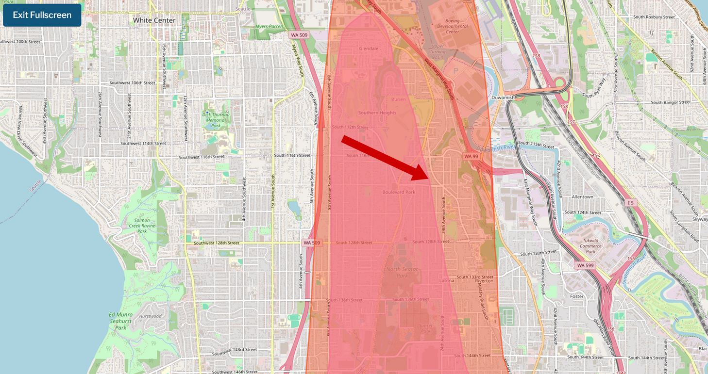
A fullscreen interactive map showing a shaded red noise impact or flight path overlay zone centered on the Boulevard Park and Burien neighborhoods south of Seattle, Washington, near Sea-Tac Airport. The highlighted corridor runs roughly north–south along 8th Avenue South, encompassing areas including Glendale, Southern Heights, North Seatac Park, and Latona, with a red arrow pointing to the Boulevard Park area; visible highway labels include WA 509, WA 99, WA 599, and I-5.Open full document
Notes
A fullscreen interactive map showing a shaded red noise impact or flight path overlay zone centered on the Boulevard Park and Burien neighborhoods south of Seattle, Washington, near Sea-Tac Airport. The highlighted corridor runs roughly north–south along 8th Avenue South, encompassing areas including Glendale, Southern Heights, North Seatac Park, and Latona, with a red arrow pointing to the Boulevard Park area; visible highway labels include WA 509, WA 99, WA 599, and I-5.