Notes
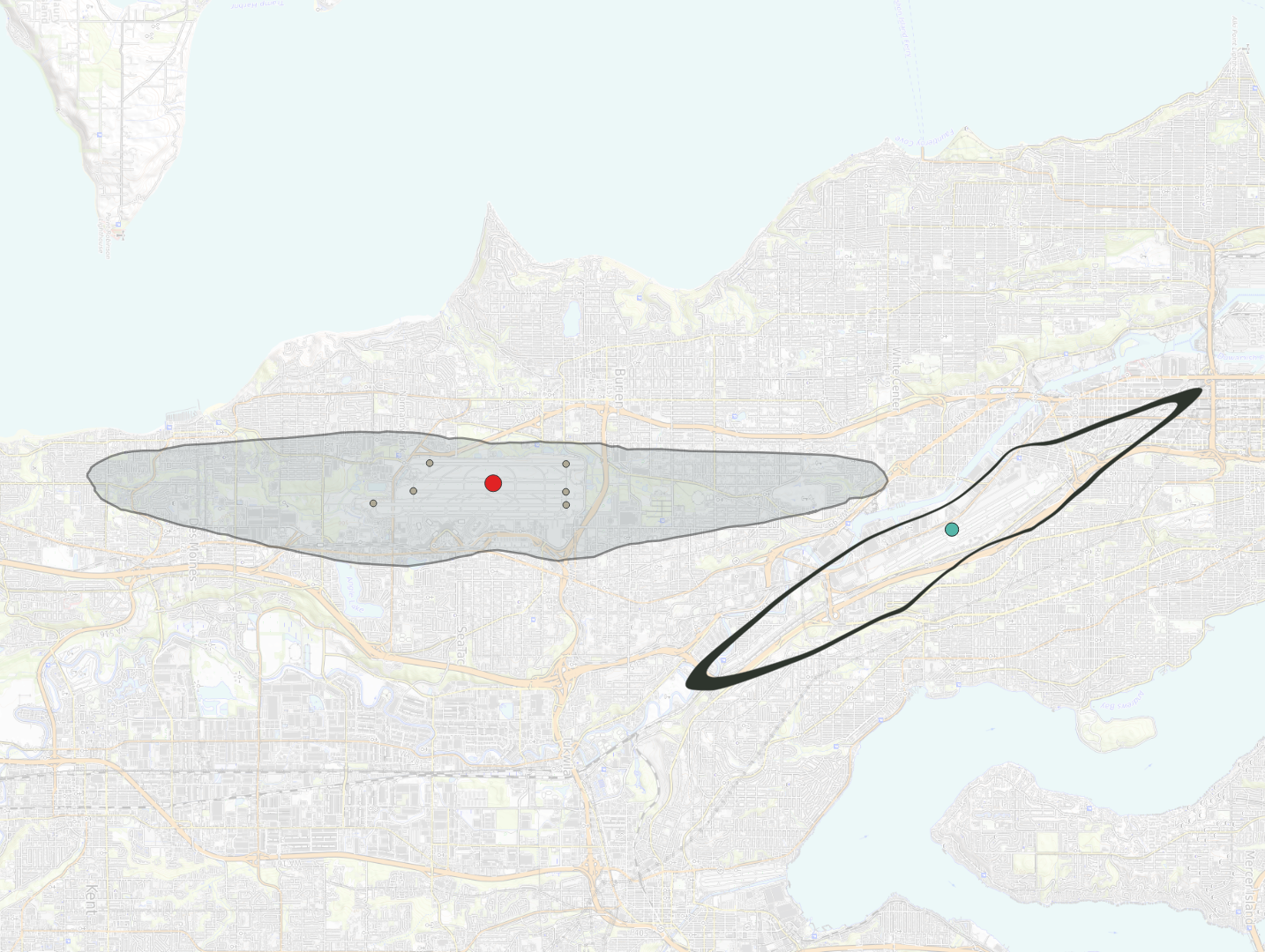
A map centered on the Seattle-Tacoma area shows a gray shaded elliptical zone (likely a noise contour or airspace boundary) over what appears to be Seattle-Tacoma International Airport, with a red dot marking a central reference point and a teal dot nearby. A bold black oval flight-track or loop is drawn to the east/southeast of the shaded zone, possibly depicting a flight procedure or noise-monitoring circuit.