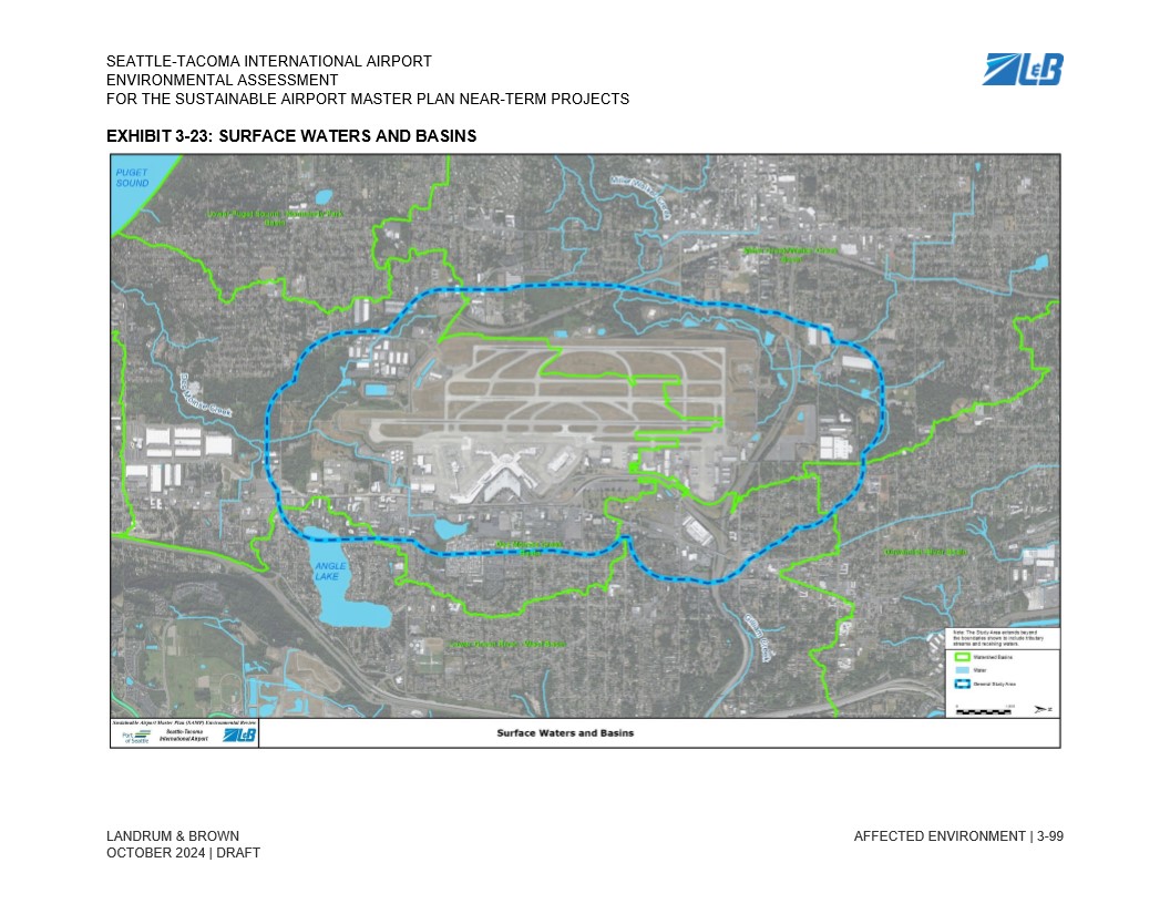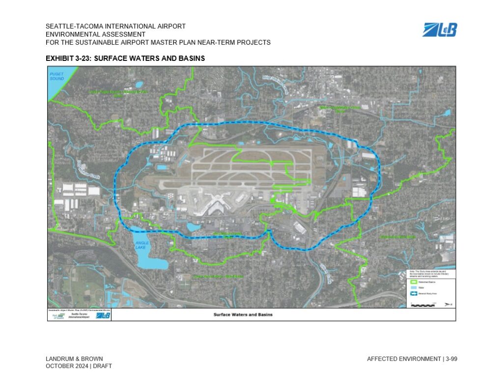
Exhibit 3-23 from the Seattle-Tacoma International Airport Environmental Assessment for the Sustainable Airport Master Plan Near-Term Projects, prepared by Landrum & Brown, dated October 2024 (Draft). The map displays watershed basins (green lines), water features (light blue), and the General Study Area boundary (blue dashed line) surrounding Sea-Tac Airport, including nearby features such as Angle Lake and Puget Sound.Open full document
Notes
Exhibit 3-23 from the Seattle-Tacoma International Airport Environmental Assessment for the Sustainable Airport Master Plan Near-Term Projects, prepared by Landrum & Brown, dated October 2024 (Draft). The map displays watershed basins (green lines), water features (light blue), and the General Study Area boundary (blue dashed line) surrounding Sea-Tac Airport, including nearby features such as Angle Lake and Puget Sound.