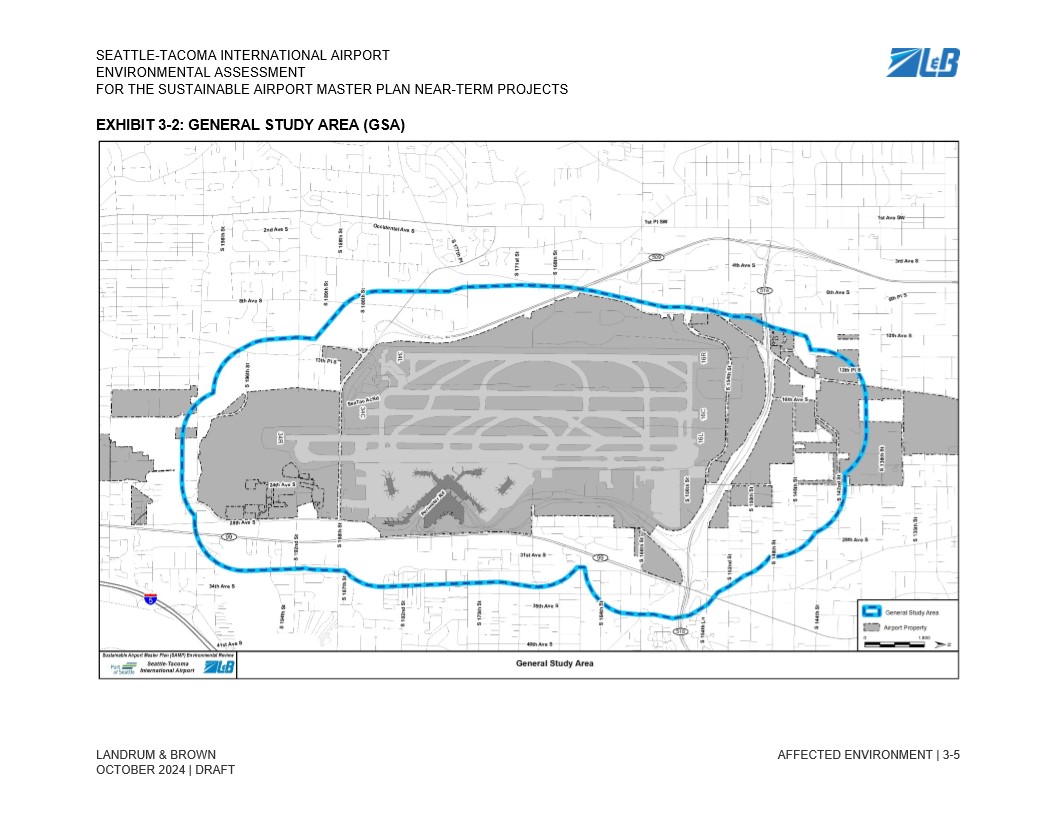
Exhibit 3-2 from the Seattle-Tacoma International Airport Environmental Assessment for the Sustainable Airport Master Plan Near-Term Projects, prepared by Landrum & Brown, dated October 2024 (Draft). The map depicts the General Study Area boundary (shown in blue) encompassing the airport property (shown in gray) and surrounding neighborhoods, oriented within the street grid of the SeaTac/Des Moines area.Open full document
Notes
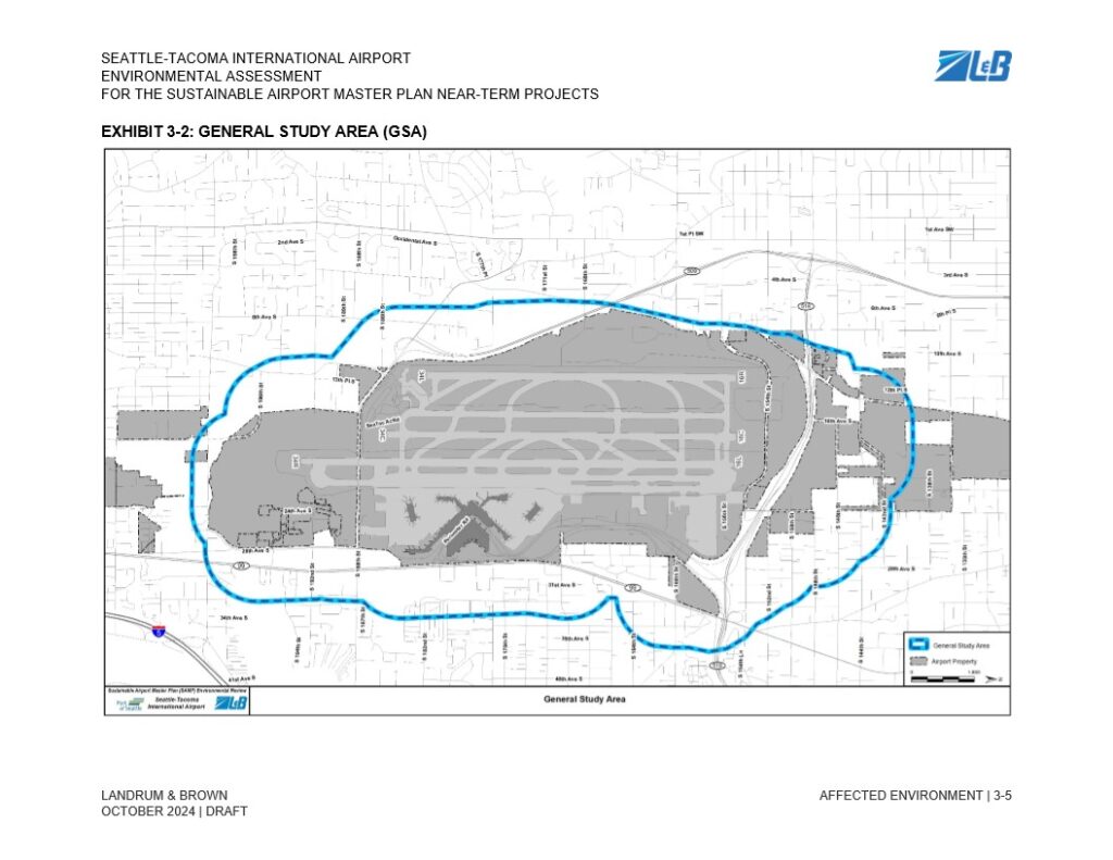
Exhibit 3-2 from the Seattle-Tacoma International Airport Environmental Assessment for the Sustainable Airport Master Plan Near-Term Projects, prepared by Landrum & Brown, dated October 2024 (Draft). The map depicts the General Study Area boundary (shown in blue) encompassing the airport property (shown in gray) and surrounding neighborhoods, oriented within the street grid of the SeaTac/Des Moines area.