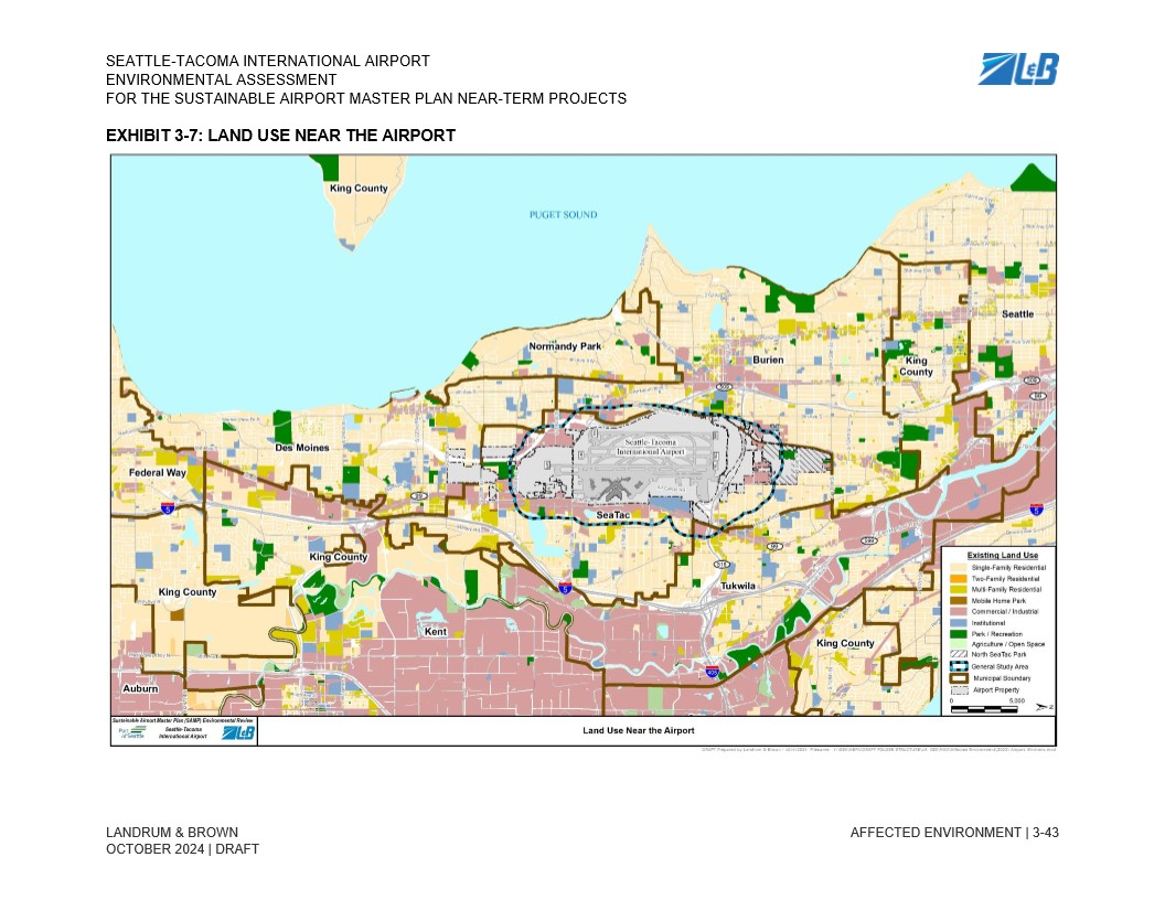
This map, from the Seattle-Tacoma International Airport Sustainable Airport Master Plan (SAMP) Environmental Assessment prepared by Landrum & Brown (draft, October 2024), depicts existing land uses in the vicinity of Sea-Tac Airport, including surrounding municipalities such as SeaTac, Burien, Des Moines, Tukwila, and Kent, with a legend distinguishing residential, commercial/industrial, institutional, park, and agricultural zones along with the airport property boundary and North SeaTac Park.Open full document
Notes
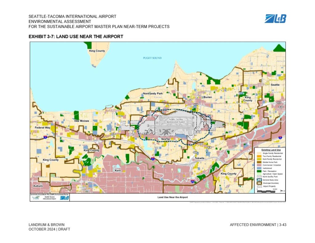
This map, from the Seattle-Tacoma International Airport Sustainable Airport Master Plan (SAMP) Environmental Assessment prepared by Landrum & Brown (draft, October 2024), depicts existing land uses in the vicinity of Sea-Tac Airport, including surrounding municipalities such as SeaTac, Burien, Des Moines, Tukwila, and Kent, with a legend distinguishing residential, commercial/industrial, institutional, park, and agricultural zones along with the airport property boundary and North SeaTac Park.