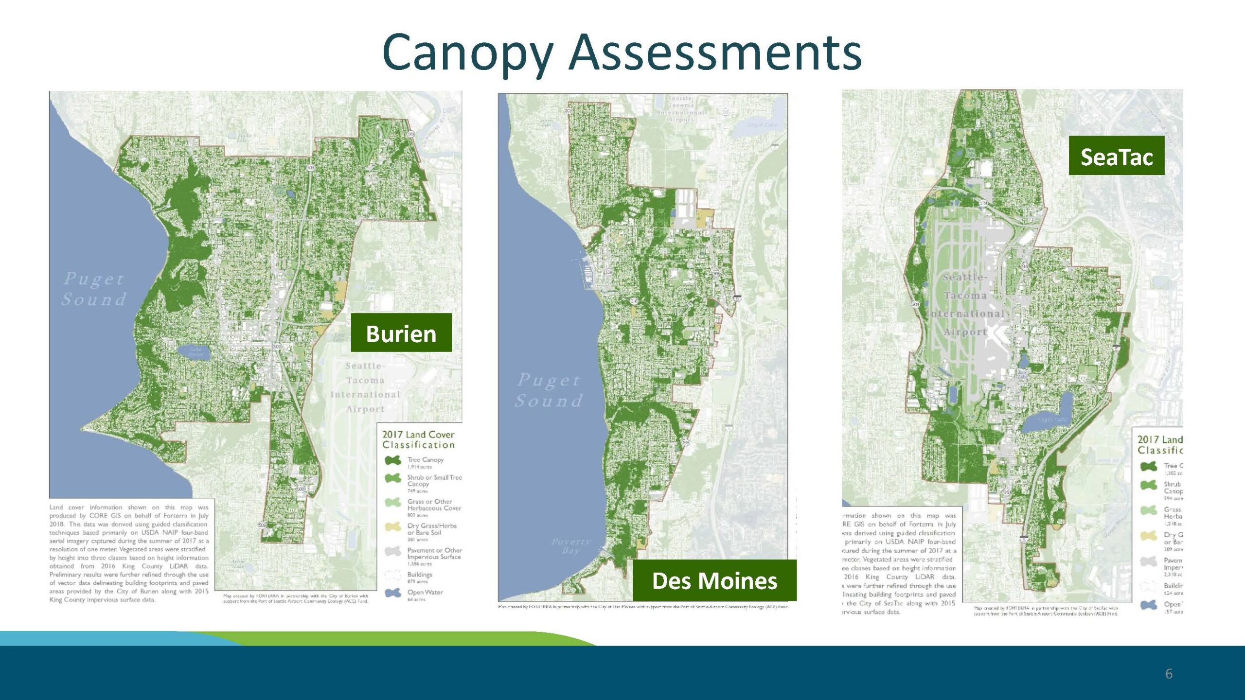
Slide 6 from a presentation showing 2017 land cover classification canopy assessment maps for three cities adjacent to Seattle-Tacoma International Airport: Burien, Des Moines, and SeaTac. Maps classify land cover into categories including Tree Canopy, Shrub or Small Tree Canopy, Grass or Other Herbaceous Cover, Dry Grass/Herbs or Bare Soil, Pavement or Other Impervious Surface, Buildings, and Open Water, derived from USDA NAIP imagery and 2016 King County LiDAR data, produced by CORE GIS on behalf of Forterra.Open full document
Notes
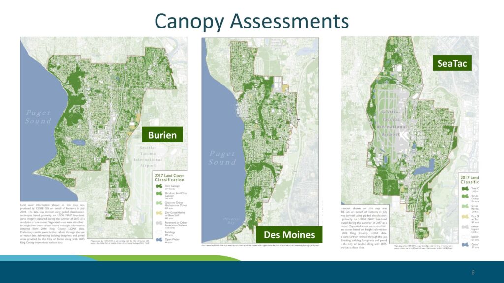
Slide 6 from a presentation showing 2017 land cover classification canopy assessment maps for three cities adjacent to Seattle-Tacoma International Airport: Burien, Des Moines, and SeaTac. Maps classify land cover into categories including Tree Canopy, Shrub or Small Tree Canopy, Grass or Other Herbaceous Cover, Dry Grass/Herbs or Bare Soil, Pavement or Other Impervious Surface, Buildings, and Open Water, derived from USDA NAIP imagery and 2016 King County LiDAR data, produced by CORE GIS on behalf of Forterra.