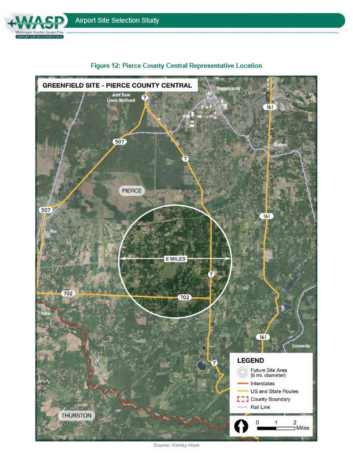
Figure 12 from the Washington Aviation System Plan (WASP) Airport Site Selection Study, produced by Kimley-Horn, depicting the Pierce County Central Representative Location as a greenfield airport candidate site. The map shows a 6-mile diameter future site area circle centered in rural Pierce County, Washington, bounded by routes 507, 702, 7, and 161, with nearby landmarks including Joint Base Lewis-McChord and the Thurston County boundary.Open full document
Notes
Figure 12 from the Washington Aviation System Plan (WASP) Airport Site Selection Study, produced by Kimley-Horn, depicting the Pierce County Central Representative Location as a greenfield airport candidate site. The map shows a 6-mile diameter future site area circle centered in rural Pierce County, Washington, bounded by routes 507, 702, 7, and 161, with nearby landmarks including Joint Base Lewis-McChord and the Thurston County boundary.