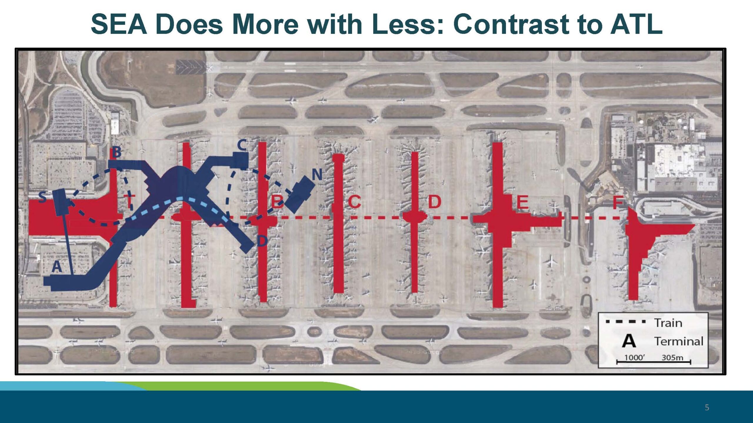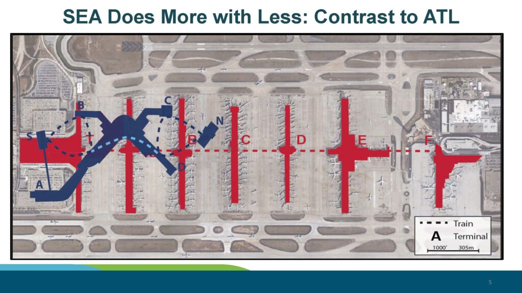
A presentation slide titled 'SEA Does More with Less: Contrast to ATL' overlays a scaled diagram of Seattle-Tacoma International Airport (SEA, shown in dark blue with terminals S, A, B, C, N, D labeled) onto an aerial photograph of Hartsfield-Jackson Atlanta International Airport (ATL, shown in red with concourses A through F labeled). A dashed red line indicates ATL's underground train system, and a scale bar shows 1000 feet / 305 meters.Open full document
Notes
A presentation slide titled ‘SEA Does More with Less: Contrast to ATL’ overlays a scaled diagram of Seattle-Tacoma International Airport (SEA, shown in dark blue with terminals S, A, B, C, N, D labeled) onto an aerial photograph of Hartsfield-Jackson Atlanta International Airport (ATL, shown in red with concourses A through F labeled). A dashed red line indicates ATL’s underground train system, and a scale bar shows 1000 feet / 305 meters.