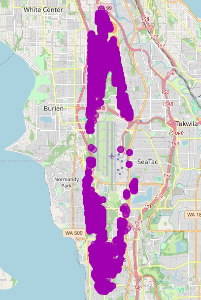
A purple dot-density or heat map overlaid on a street map showing the area around Seattle-Tacoma International Airport (Sea-Tac), including the neighborhoods of White Center, Burien, Normandy Park, Tukwila, and SeaTac. The purple clusters appear to represent aircraft flight tracks or noise complaint locations concentrated along the north-south flight corridor aligned with Sea-Tac's runways.Open full document
Notes
A purple dot-density or heat map overlaid on a street map showing the area around Seattle-Tacoma International Airport (Sea-Tac), including the neighborhoods of White Center, Burien, Normandy Park, Tukwila, and SeaTac. The purple clusters appear to represent aircraft flight tracks or noise complaint locations concentrated along the north-south flight corridor aligned with Sea-Tac’s runways.