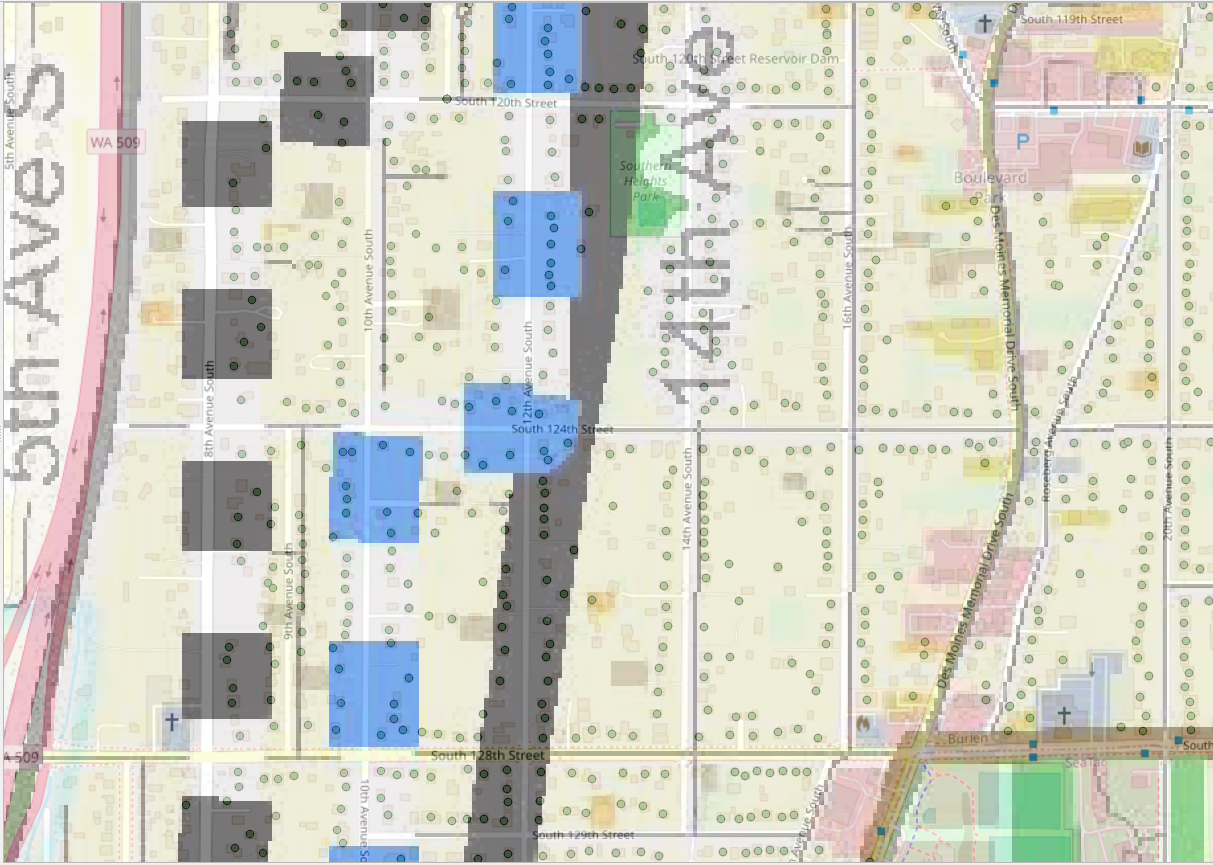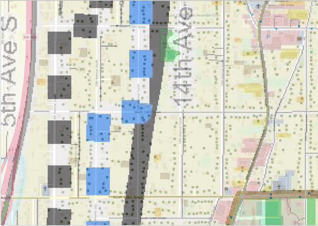
A GIS-style map showing a residential grid in the Sea-Tac Airport vicinity, centered roughly between South 119th and South 129th Streets along 5th Avenue South through 20th Avenue South, with WA-509 visible on the left. Parcels are highlighted in dark gray and blue, likely indicating noise-affected or policy-relevant properties, with Southern Heights Park marked in green and the Burien area visible in the lower right.Open full document
Notes
A GIS-style map showing a residential grid in the Sea-Tac Airport vicinity, centered roughly between South 119th and South 129th Streets along 5th Avenue South through 20th Avenue South, with WA-509 visible on the left. Parcels are highlighted in dark gray and blue, likely indicating noise-affected or policy-relevant properties, with Southern Heights Park marked in green and the Burien area visible in the lower right.