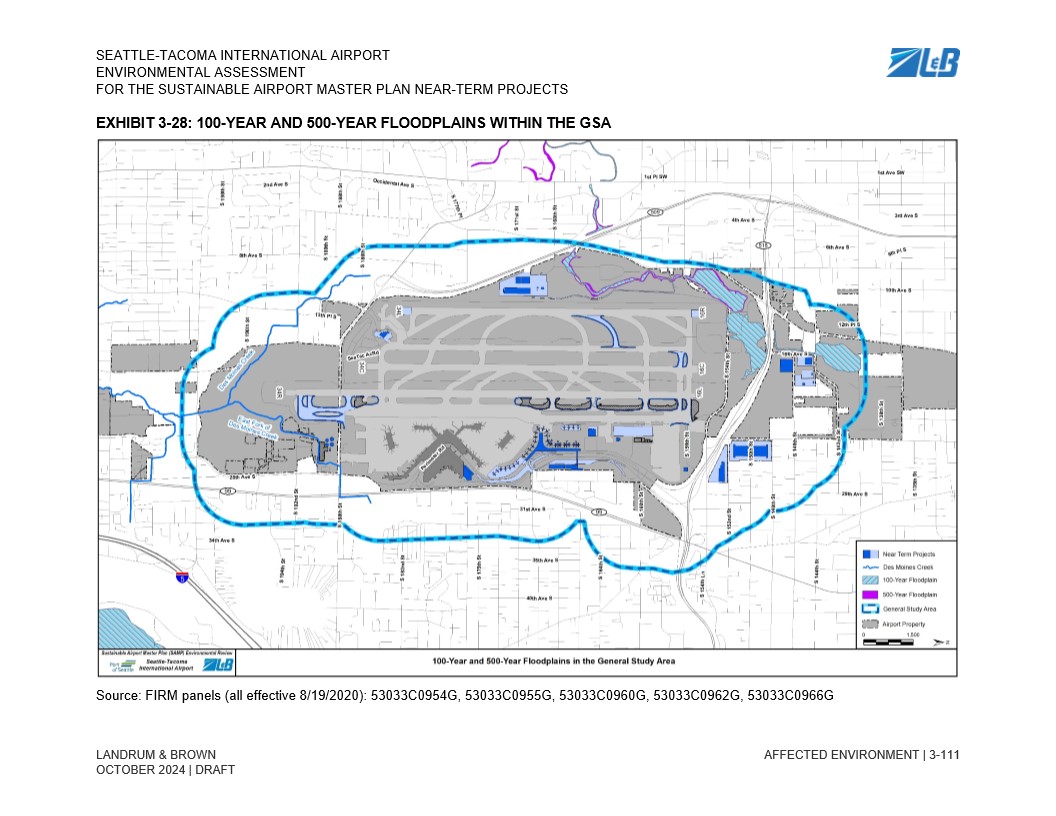
Exhibit 3-28 from the Seattle-Tacoma International Airport Environmental Assessment for the Sustainable Airport Master Plan Near-Term Projects, prepared by Landrum & Brown (October 2024 Draft), depicting 100-year and 500-year floodplains within the General Study Area. The map references FIRM panels effective 8/19/2020 and shows Des Moines Creek, near-term project locations, and airport property boundaries.Open full document
Notes
Exhibit 3-28 from the Seattle-Tacoma International Airport Environmental Assessment for the Sustainable Airport Master Plan Near-Term Projects, prepared by Landrum & Brown (October 2024 Draft), depicting 100-year and 500-year floodplains within the General Study Area. The map references FIRM panels effective 8/19/2020 and shows Des Moines Creek, near-term project locations, and airport property boundaries.