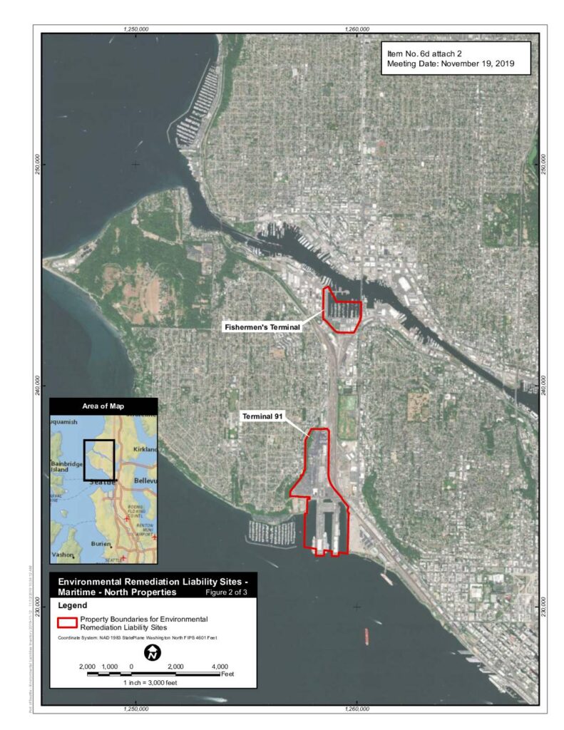
This document is a Port of Seattle environmental map identifying two Maritime North Properties — Fishermen's Terminal and Terminal 91 — designated as Environmental Remediation Liability Sites as of November 2019. The map outlines the property boundaries requiring environmental cleanup and was presented as an attachment to an agenda item at the Port of Seattle's November 19, 2019 meeting. Note that this document pertains to maritime environmental liabilities and does not contain information related to Sea-Tac Airport noise policy.Open full document
Notes
A GIS map produced by the Port of Seattle showing environmental remediation liability sites for Maritime North Properties, specifically Terminal 91 and Fishermen’s Terminal in Seattle. The map uses NAD 1983 StatePlane Washington North FIPS 4601 Feet coordinate system and was prepared for a Port of Seattle meeting on November 19, 2019. Property boundaries for environmental remediation liability sites are highlighted in red.