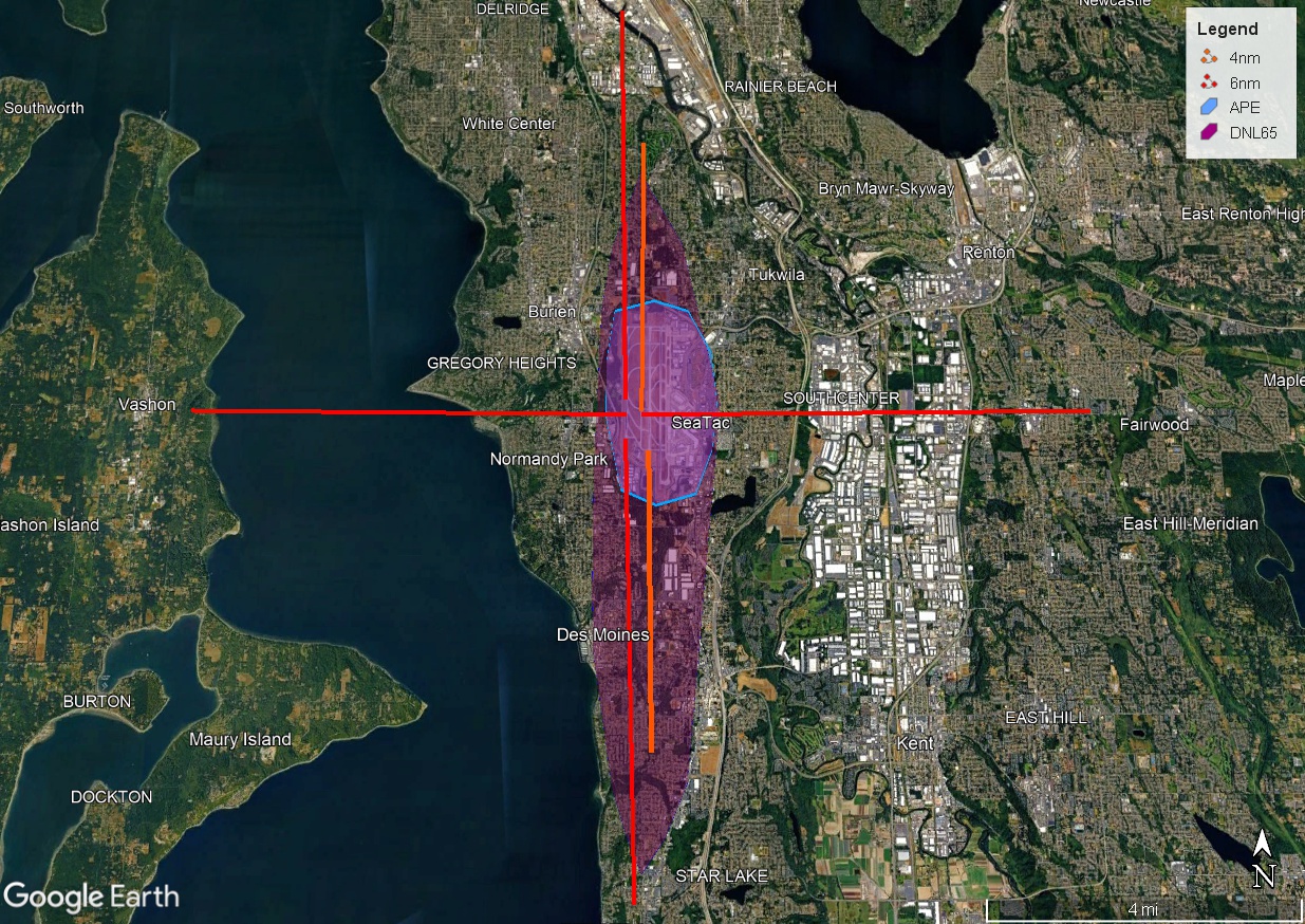
Google Earth satellite image showing Seattle-Tacoma International Airport (SeaTac, WA) with overlaid noise and airspace planning zones: 4nm and 6nm radius rings (red crosshair lines), the Airport Property Envelope (APE, blue outline), and the DNL 65 noise contour (purple shaded area). The DNL 65 contour extends roughly from Burien/Gregory Heights in the north to Star Lake in the south, encompassing portions of SeaTac, Normandy Park, and Des Moines.Open full document
Notes
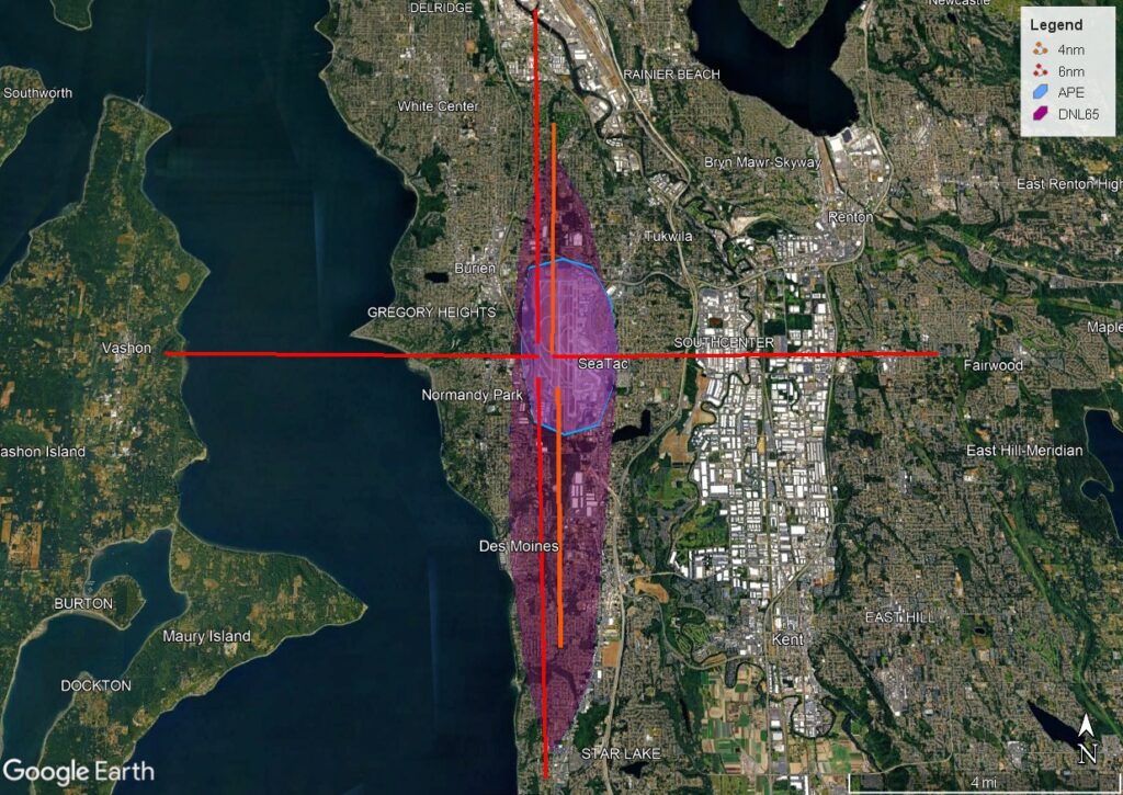
Google Earth satellite image showing Seattle-Tacoma International Airport (SeaTac, WA) with overlaid noise and airspace planning zones: 4nm and 6nm radius rings (red crosshair lines), the Airport Property Envelope (APE, blue outline), and the DNL 65 noise contour (purple shaded area). The DNL 65 contour extends roughly from Burien/Gregory Heights in the north to Star Lake in the south, encompassing portions of SeaTac, Normandy Park, and Des Moines.